Download
1 / 8
100 likes | 459 Vues
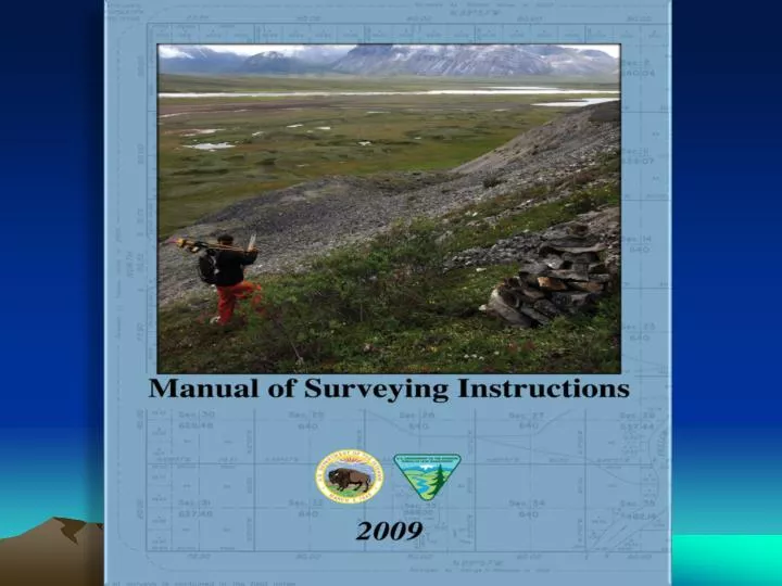
Manual of Surveying Instructions (2009). Presented by: Bob Dahl BLM Cadastral Surveyor Division of Lands, Realty and Cadastral Survey Washington, DC Arizona Professional Land Surveyors Central Chapter Meeting Fiesta Resort Conference Center – Tempe, AZ March 17, 2010.

E N D
Manual of Surveying Instructions (2009) Presented by: Bob Dahl BLM Cadastral Surveyor Division of Lands, Realty and Cadastral Survey Washington, DC Arizona Professional Land Surveyors Central Chapter Meeting Fiesta Resort Conference Center – Tempe, AZ March 17, 2010 March 12, 2010
What is the Manual of Surveying Instructions? (Manual) Who / What is affected?
MANUAL The Manual of Surveying Instructions describes how cadastral surveys are made in conformance with statutory law and its judicial interpretation. (2009 Manual § 1-3.) The Director of the Bureau of Land Management has the authority to determine what lands are Federal interest lands, what lands have been surveyed, what are to be surveyed, what have been disposed of, what remains to be disposed of, and what are reserved. (2009 Manual § 1-15.)
SUMMARY By fundamental law, upon the issuance of a patent for land by the Federal government; it is just as if the monuments, survey plat and field notes, and the laws, regulations and rules governing how to survey the land described in the patent, are attached to the face of the patent. The survey rules are spelled out in the manuals, circulars, instructions and regulations issued by the GLO and BLM.
Chapters Crosswalk 1973 Edition 2009 Manual Ch. 1 - The General Plan Ch. 2 - Methods of Survey Ch. 3 - The System of Rectangular Surveys Ch. 4 - Monumentation Ch. 5 - Lost or Obliterated Corners Ch. 6 - Resurveys Ch. 7 - Special Surveys and Instructions Ch. 8 - Field Notes Ch. 9 - Plats Ch. 10 - Mineral Surveys Ch. 1 - The General Plan Ch. 2 - Methods of Survey Ch. 3 - The System of Rectangular Surveys Ch. 4 - Monumentation Ch. 5 - Principles of Resurveys Ch. 6 - Resurveys and Evidence Ch. 7 - Resurveys and Restoration Ch. 8 - Resurveys and Water Boundaries Ch. 9 - Special Instructions, Field Notes, and Plats Ch. 10 - Special Surveys and Mineral Surveys
Areas of: Change – Clarification - Addition • Water boundaries • Standard of evidence • Coordinates as collateral evidence • Measurement technology • Mineral survey resurveys • Closing corners • Bona fide rights & good faith location
BLM Survey Manual Websites http://blmsurveymanual.org/ http://www.blm.gov/wo/st/en/prog/more/ cadastralsurvey/next_edition.html BLM Arizona PLSS/GCDB Records: ftp://ftp.blm.gov/pub/ARIZONA/ Federal Land Patents: http://www.glorecords.blm.gov