Download
1 / 37
370 likes | 541 Vues
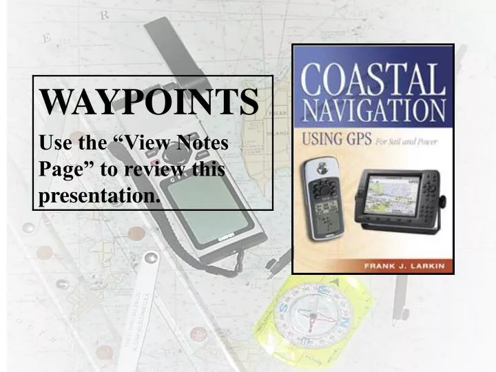
GPS Tips. Periodically verify your GPS location by using other methods . Use Aids to navigation as waypoints . Stay alert for GPS malfunctions. Waypoint Screen. Position coordinates. Waypoint name. Waypoint comment. Reference waypoint. Distance from reference waypoint.

E N D
GPS Tips Periodically verify your GPS location by using other methods. Use Aids to navigation as waypoints. Stay alert for GPS malfunctions.
Waypoint Screen Position coordinates Waypoint name Waypoint comment Reference waypoint Distance from reference waypoint Bearing from reference waypoint
1. Learn how to inputwaypoints. 2. Learn how to usewaypoints.
A “WAYPOINT” (WPT or WP) is a designated location with geographic coordinates defined by latitude and longitude.
latitude longitude
What is the fixed location of lighted buoy G “1B1” Fl G 4 sec BELL, located just north of Sandy Point on Block Island? Latitude: 41º 15.5’ N Longitude: 71º 34.5’ W ANIMATION
GPS Tips Don’t be afraid to place Waypoints on the charted location of an Aid to Navigation. The odds are that it won’t actually be there due to its Watch circle and natural influences.
GPS Tips • Use a minimum • number of characters to • define a waypoint. • Maintain an EXCEL list of • waypoints for reference.
Light List 48 10 54 N 123 06 37 W
Store present positions. Enter a position. Rename, edit, and copywaypoints. Create and edit routes. Delete waypoints and routes. You need to learn how to:
Entering Waypoints Position coordinates Waypoint name Waypoint comment Reference waypoint Distance from reference waypoint Bearing from reference waypoint
Entering Waypoints • Enter in name/icon. • Enter LAT/LON. • Enter message (not recommended) • Waypoint number. (Keep it simple) • Menu of waypoint options at bottom. • Bearing andDistance 0001
Always pre-plot all waypoints on a nautical chart and measure the distance and bearing between waypoints. Verify on your chart that the trip legs are planned in safe water. Record the data on a Trip Log.
Waypoints do not have to be located in the water--e.g., locate a waypoint at a lighthouse to enable you to know where and when to look for it Waypoints can be used to mark hazards to navigation--areas to avoid as well as areas to visit safely.
Select waypoints that can be easily verified by other methods--visual fixes, soundings, radar, etc. NEVER rely on one means of navigation.
Scrolling on the Map Page Use the cursor key Scroll to specific coordinates or To a course & distance or Scroll to object on screen (if any) Tip of arrow shows scroll position Current position
The Waypoint Screen Press “Mark” (enter key twice) Bring up waypoint screen Change name if desired Date & time shown Coordinates shown Scroll to “OK” & press “Enter” to store waypoint
Waypoints do not have to be located in the water. Waypoints can be used to mark hazards to navigation--areas to avoid and areas to visit. GPS Tips
Waypoints are used extensively in GPS navigation: As boundaries between voyage segments – LEGS. To mark turning points, destinations, and aids to navigation. To mark hazards to navigation.
Use a simple numbering system. Validate every waypoint before using it as a permanent waypoint in a route. Verifying your planned positions as a waypoint WPT 4 WPT 3 WPT 2 WPT 1
Verifying your Waypoint Press the “Mark” button Brings up Waypoint Screen
Mark the boundaries between legs. Waypoint Use Rock WPT 4 WPT 3 WPT 2 WPT 1
Identify waypoint locations or the direction & distance between them. Using GPSto Navigate
Plan a series of waypoints. Check for obstacles between them—shoals, rocks, islands. Check 1/4 mile either side of your planned course for obstacles. Using GPSto Navigate
GOTO Navigation • Used by any boat in open water to navigate to a single waypoint. • Useful functions: • Range and Bearing • Speed of Approach • Turn
Range and Bearing • The distance and direction to a waypoint. • Probably the most useful of all navigation functions. • Know your units: true vs. magnetic, statute vs. nautical 3.2 NM, 030°
Course To Steer gets you back to the course line at a 45° intercept to try to keep you out of trouble Desired Course Line CTS Bearing Third Reef Course To Steer
WP 3 TR 225 D 2.4 WP 2 TR 224 D 3.1 WP 1 ANIMATION
Check positions periodically so that you will have a last known position in the event of GPS receiver failure. Always plot your trips on a nautical chart. Always use a Trip Log. Plotting GPS Positions
Use hand-held GPS units as backups to ship-mounted units. Carry extra batteries Always use conventional paper charts with your GPS. GPS Tips
WPT 02 • It is important to check your chart before establishing WPTs. • If the course crosses an island, the GPS receiver will direct you to navigate into this hazard. WPT 01
Remember that the greatest hazard to navigation may be a bored navigator. GPS Tips