Download
1 / 8
80 likes | 183 Vues
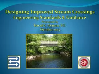
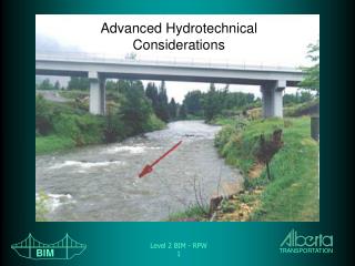
Hydrotechnical Design Guidelines for Stream Crossings Alberta Infrastructure and Transportation. Design Parameters. Require Y, V, Q Typical large runoff response Consistent with Physics, History Optimize crossing design. Approach. 1. Channel Capacity 2. Historic Observations

E N D
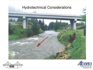
Hydrotechnical Design Guidelines for Stream Crossings Alberta Infrastructure and Transportation
Design Parameters • Require Y, V, Q • Typical large runoff response • Consistent with Physics, History • Optimize crossing design
Approach 1. Channel Capacity 2. Historic Observations 3. Basin Runoff Potential
1. Channel Capacity • Define typical channel parameters : B, T, h, S • Assign stage : • Calculate V, Q – AT, Manning equation • Governs – most sites with overbank storage
2. Historic Observations • HW data from bridge files, database • WSC Data – Q, Y for peak events • Storm Database – ID likely response • Governs – large rivers
3. Basin Runoff Potential • Qp = q x A (upper bound) • q - runoff depth map (cms/km2) • A – contributing • Storage routing • Governs – small basins, steep channels
Compile Hydrotechnical Summary • Concise summary • Summarizes all 3 components • Conclusion : Y, V, Q • Consider u/s and d/s sites (HIS)
Tools • HIS • PeakFlow • Storm On Basin • Global Mapper • Calculation – hydraulics, routing