Download
1 / 14
150 likes | 606 Vues
The Pacific Northwest Recreation Map Series. A service-first federal recreation map series combining Forest Service Visitor Maps and BLM District Recreation maps

E N D
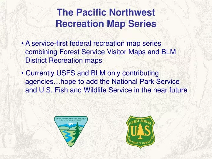
The Pacific NorthwestRecreation Map Series • A service-first federal recreation map series combining Forest Service Visitor Maps and BLM District Recreation maps • Currently USFS and BLM only contributing agencies…hope to add the National Park Service and U.S. Fish and Wildlife Service in the near future
“Service First” mindset…What is best for the public? • Can We? • Make a Better Product • Lower Government Cost • Increase Public Safety • Combine Resources • Streamline Processes • Reduce Bureaucracy / Red Tape
Pacific Northwest Recreation Map Series26 Maps Covering 2 States
BLM Recreation Maps Prineville District Eugene District Baker RA
U.S. Forest Service Visitor Maps Siskiyou NF / Coos Bay District Mount Hood NF Umatilla NF
Issues and Opportunities • Map Coverage • Cartographic Standards • Cover Design • Product Design and Layout • Text Uniformity • Printing and Distribution • Sales and Cost Recovery • Press Inspections • Production Schedule and Updates
“Service First” mindset…What is best for the public? • Can We? • Make a Better Product • Lower Government Cost • Increase Public Safety • Combine Resources • Streamline Processes • Reduce Bureaucracy / Red Tape
Contact Information Dave Lang, U.S. Forest Service Region 6 Lead Cartographer Email: dlang@fs.fed.gov Jim Rounds, B.L.M. Oregon State Office Lead Cartographer Email: jim_rounds@blm.gov FTP: Implementation and Cartographic Standards SERVER: ftp.blm.gov LOGIN: anonymous PWD: “enter your email” DIRECTORY: blmincoming/OR/ FILE: BLM-USFS_RecSeries_agreement_050107.pdf - or - Using Internet Explorer type: ftp://ftp.blm.gov/blmincoming/BLM-USFS_RecSeries_agreement_050107.pdf