Download
1 / 15
160 likes | 319 Vues
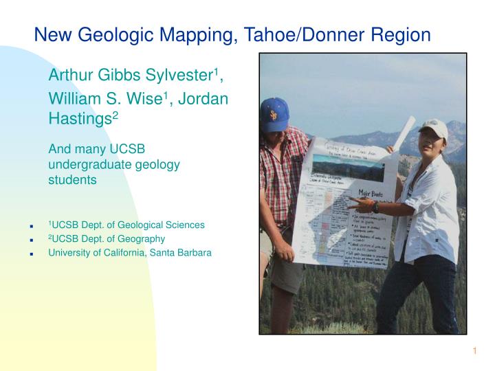
New Geologic Mapping, Tahoe/Donner Region. Arthur Gibbs Sylvester 1 , William S. Wise 1 , Jordan Hastings 2 And many UCSB undergraduate geology students 1 UCSB Dept. of Geological Sciences 2 UCSB Dept. of Geography University of California, Santa Barbara. Purposes of this Talk.

E N D
New Geologic Mapping, Tahoe/Donner Region • Arthur Gibbs Sylvester1, • William S. Wise1, Jordan Hastings2 • And many UCSB undergraduate geology students • 1UCSB Dept. of Geological Sciences • 2UCSB Dept. of Geography • University of California, Santa Barbara
Purposes of this Talk • To present new geologic maps of all or parts of nine 7.5’ quadrangles in the Tahoe/Donner area. • To present the major geologic findings resulting from the new mapping. Index Map Yellow = UCSB 7.5’ mapping
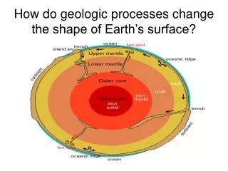
Purposes of the Mapping • To investigate the relation of volcanic eruption centers to basement structure. • To determine the geologic history of the area, including Tertiary volcanism and faulting. • To complement the geologic data base of the greater Tahoe area. Tahoe City 7.5’ Quadrangle
Main Findings • Tahoe/Truckee graben is bounded on west by Donner deformation zone (Hudson, 1948). • Little evidence of recent fault displacement. Norden 7.5’ Quadrangle
Main Findings • Tahoe/Truckee graben is bounded on east by major fault along state line. • Much evidence of recent faulting on other faults (Schweickert et al., 2000). Kings Beach 7.5’ Quadrangle
Main Findings • Lake level was 75 m higher during glacial times than today (Birkeland, 1964). • Ancient shorelines, peperites. Kings Beach 7.5’ Quadrangle
Main Findings • Oligocene rhyolite tuff in Onion Creek, Emigrant Meadow, Beacon Peak, Boreal Ridge, and Castle Valley areas (Lindgren, 1897). • Nine separate tuffs. • Tuffs filled an Eocene paleocanyon cut in Cretaceous granite. Norden 7.5’ Quadrangle
Main Findings • Presence of a major volcanic debris avalanche in Norden quadrangle (Fosdick et al., 2004; Rotberg et al., 2004). • Derived between 13.4 - 7.5 Ma ago from major volcano to SE (Tinker Knob? Squaw Peak?). Norden 7.5’ Quadrangle
Main Findings • Graben filled with Tertiary volcanic rocks of Oligocene, Miocene, Pliocene, and Recent age. • Seven major volcanoes: • Four along Donner deformation zone: Tinker Knob, Squaw Peak, KT22, Twin Peaks. • Three in the graben: Mt. Pluto, Mt. Watson, Martis Peak. Martis Peak 7.5’ Quadrangle
Main Findings • Young tuff ring at Lake Forest. Kings Beach 7.5’ Quadrangle
Main Findings • Young tuff ring at Lake Forest not far from seismic activity in Carnelian Bay in 2003. • Many small earthquakes (< M.3) • Deep earthquakes (~ 30 km) • Indicative of volcanic source. 2003 earthquake swarm Kings Beach 7.5’ Quadrangle
Status of the Research • Field mapping in summer 2004 directed to: • detailed work in basalt fields in Truckee and Martis Peak quadrangles. • details of glacial deposits • Map stateline fault • Collect specific rocks for radioisotopic dating Truckee 7.5’ Quadrangle
Status of the Maps • All field maps now compiled at scale of 1:24,000 in hand colored, analog sheets of paper. • These maps now being digitized using ArcMap 8.3 in GIS format. • Kings Beach quadrangle is finished. • Others are raster images posted at: www.geol.ucsb.edu/projects/tahoe Homewood 7.5’ Quadrangle
Put all maps on Web as Dynamic Digital GIS documents that can be queried for: age, type of rocks, chemical analyses faults, geologic structures outcrop and vista images Ultimate Intention Wentworth Springs 7.5’ Quadrangle
To complement the collection of all research in the greater Tahoe region available to regional planners and other users. Ultimate Objective