Download

1 / 0
0 likes | 125 Vues
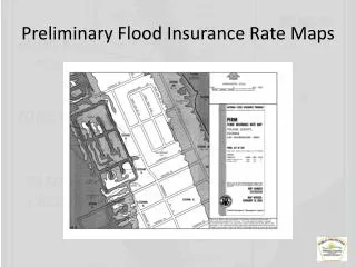
Community Coordination Meeting Hampden County, Massachusetts Review of Preliminary Flood Maps May 31, 2012. Agenda. Welcome and Introductions Mapping Process Paper versus Digital Flood Insurance Rate Maps Development of Flood Hazard Data Public Review and Appeal Period

E N D