Download
1 / 25
250 likes | 366 Vues
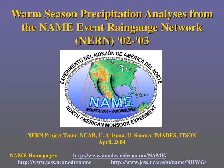
Warm Season Precipitation Analyses from the NAME Event Raingauge Network (NERN) ' 02- ' 03. NERN Project Team: NCAR, U. Arizona, U. Sonora, IMADES, ITSON April, 2004 NAME Homepages: http://www.imades.cideson.mx/NAME/ http://www.joss.ucar.edu/name http://www.joss.ucar.edu/name/NHWG/.

E N D
Warm Season Precipitation Analyses from the NAME Event Raingauge Network (NERN) '02-'03 NERN Project Team: NCAR, U. Arizona, U. Sonora, IMADES, ITSON April, 2004 NAME Homepages: http://www.imades.cideson.mx/NAME/ http://www.joss.ucar.edu/namehttp://www.joss.ucar.edu/name/NHWG/
NERN : Shuttleworth, Watts, JimenezGochis, Garatuza • 100 Event logging, tipping bucket raingages • 6 major W-E transects traversing SMO • Major improvement in topographic and temporal sampling of precipitation • Installed 2002-2003, in operation through spring of 2006 • Not available in real-time Contacts: gochis@rap.ucar.edu, watts@fisica.uson.mx, garatuza@itson.mx
T6 T5 T4 T3 T2 T1
Precipitation Analyses: Diurnal Cycle of Precipitation Frequency
Precipitation Analyses: Topographic Dependence of the Diurnal Cycle of Wet Day Rain Rate
Issues related to NAM Precipitation Analyses • What are the most appropriate metrics for comparing/ validating precipitation estimates from models and remotely sensed platforms with NERN and other station-based datasets? • Merged datasets • Area integrations (NAME verif. zones, gridded anal., watershed avgs., etc.) • Climatology vs. case studies • Linking precipitation character w/ forcing mechanisms • Exactly how does precipitation propagate off of the SMO? • Modeling and NERN evidence that precipitation may move away from SMO to west AND east • Extending analyses to encompass larger N. American region
Covariance between NAMS and US?: Cont. US • SW – Cont. US correlations are v. weak and explain v. little of overall σ2 • However, statistically significant evidence for weak anit-correl at lag 0 with transition to pos. correls at (US) lag 4 SW
August 2002 – PHASE I Gauges Only Precipitation Analyses: Topographic Dependence of the Diurnal Cycle of Wet Day Rain Rate
Precipitation Analyses: Elevation Dependence of the Diurnal Power Spectrum Mtn. Stations: Yecora – 1543m Ej. El Frijol – 1581m La Hermita – 2716m Plains Stations: Tecoripa – 402m Pericos – 71m Mazatlan – 2m
Precipitation Analyses: Diurnal Cycle of Precipitation Frequency