Download
1 / 6
60 likes | 180 Vues
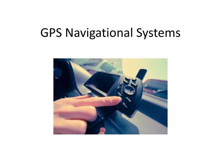
GPS Navigational Systems. What is it?. A satellite-based navigational system. Can tell you exactly where you are on Earth and give directions to wherever you would like to go. History of GPS Systems.

E N D
What is it? • A satellite-based navigational system. • Can tell you exactly where you are on Earth and give directions to wherever you would like to go
History of GPS Systems • Development of GPS dates back to the 1960s and was first launched in 1978, but only completed in 1994. • It was first used by the U.S. military to navigate them through Operation Desert Storm. • With the help of the GPS, soldiers could find their way through a sand storm, day or night.
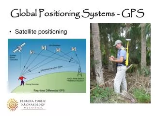
How does it work? • Three main elements of a GPS system are the space segment, the user segment, and the control segment. • The space segment consists of 24 satellites and 6 spares in their own orbit about 111,000 miles above Earth. The satellite orbits complete their track once each day and new ones are replaced with the old ones. • The control segment consists of tracking stations located around the world (6 ground stations). These stations measure signals, compute their precise orbital data, and clock corrections. They play a key role as reference locations and in calculating differential GPS. • The user segment consists of GPS receivers (mounted in the car or handheld) and the user community. Receivers convert satellite signal into position, velocity, and time estimates. Without these components, GPS would not be able to navigate, give precise positioning, and give time and frequency dissemination.
Who all can/has one? • Used by many different people. It is used by the military and general public for navigation. • The military purchased nearly 1,000 handheld systems initially, and before the end of Operation Desert Storm, nearly 9,000 were being used. They were carried by soldiers, mounted in aircraft, and Navy ships. It has been a very crucial element for the U.S. military, and its need will continue to increase. • It is also used everyday by the public in their vehicle and on their cell phones.
Where can I get one? • Online websites • Electronics stores • Retail stores • GPS receivers come in many different brands and types. • There are built-in systems for a vehicle and hand-held receivers. • The most popular GPS brands are Garmin, Magellan, and Lowrance… • The one below is a StreetPilot® III