Download
1 / 15
160 likes | 176 Vues
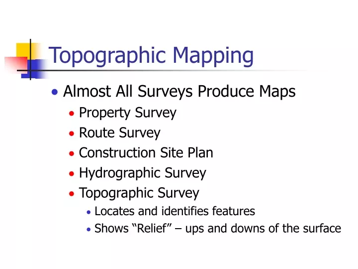
Topographic Mapping. Almost All Surveys Produce Maps Property Survey Route Survey Construction Site Plan Hydrographic Survey Topographic Survey Locates and identifies features Shows “Relief” – ups and downs of the surface. Data Collection. Collect data on features:

E N D
Topographic Mapping • Almost All Surveys Produce Maps • Property Survey • Route Survey • Construction Site Plan • Hydrographic Survey • Topographic Survey • Locates and identifies features • Shows “Relief” – ups and downs of the surface
Data Collection • Collect data on features: • Identify X, Y, Z coordinates of points • Baseline Offsets • Stadia Radiation • Collect data on relief • Aerial Photogrammetry • Cross-sectioning
Sta 0+97 76’ right Sta 0+72 80’ right Baseline Offsets • Set Baseline • Set end points • Assign stationing • Offsets • Perpendicular to baseline • R or L • Calculate • Coordinates • Elevations Assign Pt. A Sta 0+00
123’ at 37°00’ 108’ at 48°00’ Stadia Radiation • Set Baseline • Record • Azimuth • Distance • Calculate • Coordinates • Elevations
Stadia • Indirect Distance Measurement • Can be used to determine • Distance from transit • Elevation difference • Coordinates • Uses Optics of Telescope • Focal Length, f • Spacing of extra cross-hairs, i
Stadia Internal Focus: (c + f) = 0 External Focus: (c + f) = 1 ft
Stadia Interval f/i = 100 4.27-3.98 = 0.29 0.29*100 = 29 feet Note accuracy: 1 ft
Inclined Stadia for small angles, s’ s cos
Inclined Stadia Example Given: a = 20°15’ HI = 4.50’ s = 1.62’ Rod reads 4.81’ ElevA = 100.0’
Stadia Collection Fig 14-13, Page 270
Relief • Requires vertical control – Benchmarks • May be shown by: • Color • Hachures • Contour Lines • Lines of equal elevation • Contour interval • Index contours • Small spacing = steep slope
Contour map rules • V = valley • C = hilltop • Smooth, not straight • Can’t simply end • Uniform slopes • Grade to contour
Fig 14-4 Page 260
Fitting Contours Fig 14-5, pg 261