Download
1 / 9
120 likes | 346 Vues
1/9/13 Topographic Mapping. PRE-BREAK RECAP Warm-Up: Fill in the chart. Learning Goals:. By the end of this lesson you will know what a topographic map is. Know the parts of a topographic map Identify types of landforms on a topographic map. P: Interactivity.

E N D
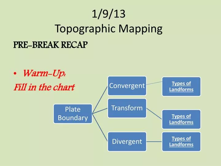
1/9/13Topographic Mapping PRE-BREAK RECAP • Warm-Up: Fill in the chart
Learning Goals: • By the end of this lesson you will know what a topographic map is. • Know the parts of a topographic map • Identify types of landforms on a topographic map.
P: Interactivity • Write each question in your journal and answer while watching the interactivity. • What is elevation? • What are contour lines? Contour Intervals? • Explain the difference between steep and gentler slopes. • What does the term relief mean? What is the difference between high and low relief? • What is a Satellite Map?
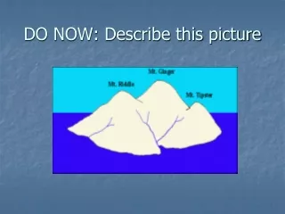
A. Image Breakdown • What are the contour lines? • What is the contour interval of this map? • What is the elevation of point Z? • Where is it the steepest on this map?
C&E Topographic Map Rules • Steep slopes v. Gentle slopes • Stream or valley • Top of hill • Depression
Topographic Map Rule #1 • Contour lines are closely spaced on steep slopes. • Contour lines are widely spaced on gentle slopes.
Topographic Map Rule # 2 Where a contour line crosses a stream or valley, the contour line bends to form a “V” that points upstream. In the upstream direction, the successive contours represent higher elevations. Delta
Topographic Map Rules #3 • Contour lines near the top of a hill form closed, circular shapes. The top of the hill is higher than the highest closed contour line.
Topographic Map Rules #4 • Depressions without outlets are shown by closed hatched contours. The contour lines have short lines on the inside that are pointing down slope. The bottom of the depression is lower than the lowest closed contour line.