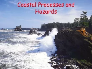
Download
1 / 21
220 likes | 405 Vues
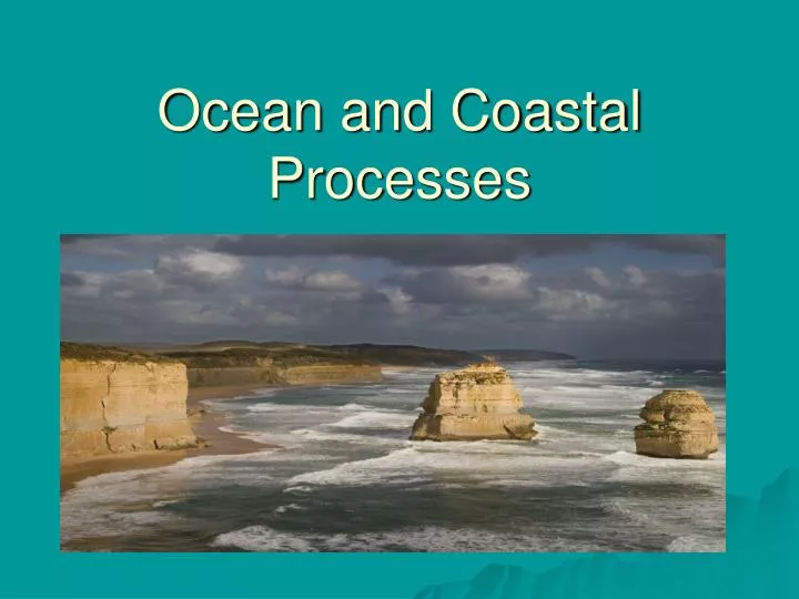
Ocean and Coastal Processes. The Origin of Earth’s Water. Magma. Most water came from __________ originating deep within Earth’s molten interior. 2. Some water could have come from ________ (dirty snowballs) from outer space. Outgassing. Comets. Sources of salts. 96.5. _____ % Water

E N D
The Origin of Earth’s Water Magma • Most water came from __________ originating deep within Earth’s molten interior. • 2. Some water could have come from ________ (dirty snowballs) from outer space. Outgassing Comets
Sources of salts 96.5 _____ % Water _____ & Salts Seawater is ________ dense than pure water. 3.5 more • _____________ weathering of rocks release salts. • 2. Runoff (overland flow) and groundwater dissolve salts in bedrock and soil, delivering about ___________ tons of dissolved solids to the oceans each year. Chemical 4 billion
ESRT page 1 Ocean Currents: ESRT page 4 4 • Water is most dense at ______°C • 2. The primary cause of deep ocean currents is differences in ____________. • 3. Cold water is _______ dense than warm water so it sinks. density More
4. The movement and circulation of ocean waves along the surface follows __Wind_ circulation.
5. Winds and ocean currents curve over long distances due to _________________. This is called the ___________________. • 6. A _______ is a large, curving pattern of circulation in the ocean. Earth’s roataion Coriolis effect gyre
Questions: Surface Ocean Currents ESRT page 4 1. According to The Earth Science Reference Tables, which location has a coastal climate that is generally made warmer by the influence of a nearby ocean current? (1) Southern California (2) Peru in South America (3) Brazil in South America (4) Northwestern Africa near the Canary Islands 3 2. The Canaries Current along the west coast of Africa and the Peru Current along the west coast of South America are both (1) warm currents that flow away from the equator (2) warm currents that flow toward the equator (3) cool currents that flow away from the equator (4) cool currents that flow toward the equator 4 3. Warm water from tropical oceans is carried to northern Europe by the Gulf Stream and the (1) Alaska Current (2) Canaries Current (3) North Atlantic Current (4) Brazil Current 3
4. Which surface ocean current transport warm water to higher latitudes? (1) Labrador Current (2) Falkland Current (3) Kuroshio Current (4) Peru Current 3 5. Most surface ocean currents in the northern and southern hemisphere do not curve in the same direction. Describe the direction in which most surface ocean currents curve in the Northern Hemisphere. Northern Hemisphere clockwise Southern Hemisphere counter clockwise
Currents and Climate • Water has a high ________________ compared to most materials. • ESRT page 1 Specific heat It takes water a long time to heat up and cool down because of its high specific heat capacity. • 2. This means that the temperature of ocean water does not change as quickly as the temperature of _____________ and ___________. rock soil
REGENTS REVIEW QUESTION 1. Equal masses of granite, iron, basalt, and liquid water are at room temperature. Each substance then absorbs then same amount of additional heat energy. Assuming no phase change, which substance would change least in temperature? 1. granite 2. iron 3. basalt 4. liquid water 4 2. Pieces of lead, copper, iron, and granite, each having a mass of 1 kilogram and a temperature of 100°C, were removed from a container of boiling water and allowed to cool under identical conditions. Which piece most likely cooled to room temperature first? 1. copper 2. lead 3. iron 4. granite 2
3. Equal volumes of the four samples shown below were placed outside and heated by energy from the Sun’s rays for 30 minutes. • The surface temperature of which sample increased at the slowestrate? • water • copper pennies • basaltic sand • iron fragments 1
small • 3. Coastal locations usually have a _____________ range of temperature than do inland locations. • 4. Cold and warm currents also affect coastal _________________. • 5. California has a ______________ ocean current therefore the air temperature is _________ than normal. • 6. People that live along the Gulf of Mexico or the Atlantic coastline of the United States have a ____________ climate due to the __________________ Ocean current. temperatures cold cooler warmer Gulf Stream
Questions • Describe how ocean surface currents near the coast change the climate of the southern coastal region of Alaska. • 2. Explain how there could be palm trees in England which is located at an equal latitude as Canada. Alaskan current causes the climate to be warmer. England is affected by the warm North Atlantic Current
Tides Gravitational pull • The tides are caused by ______________ of the moon and the sun. • The __________ has a greater gravitation effect on Earth because it is much closer to Earth. • There are approximately ______ high tides and ______ low tides everyday. • Tides are a ____________ and _____________ event. From high tide to high tide the cycle takes place every _______ hours. • ______________occurs when the Earth, Moon, and Sun are all aligned. Moon 2 2 predictable cyclic 12 Spring tides
Neap tides 90° 6. ______________ occurs when the Earth, Moon and Sun are at a ______ angle.
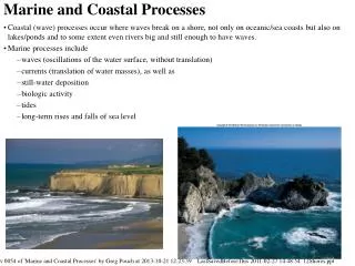
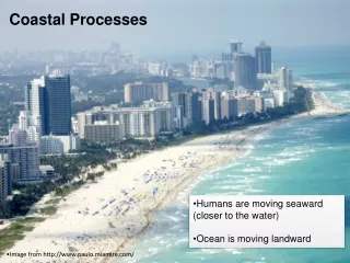
Coastal Processes Rivers & streams • Two primary sources of sediment for beaches are __________ that bring sediment along the shore and ____________ that carry sediment onto the beach. • 2. Most energy of waves comes from __________. • 3. _____________ transport is the movement of waves parallel to the shoreline. waves Wind Longshore
Long shore current Spit • 4. The construction of a Groin (pier) causes the shoreline become _______ on the side of groin where the ______ is coming from. • 5. Spits point to the direction of the __________________. • 6. Which direction is the longshore current? wider wind Longshore current West
REGENTS REVIEW 1. Waves that erode the shore of Lake Ontario are caused primarily by 1. the rotation of the Earth 2. differences in temperature of lake water along the shore 3. winds blowing over the lake surface 4. density variations within the lake 3 • 2. Students compared recent photographs of the beaches with photographs taken three years ago and discovered that parts of the shoreline have changed. Which characteristic of the shoreline probably has changed the most? • composition of the beach sand • size of the beaches • positions of the jetties • length of the peninsula 2
3. The diagram represents a shoreline along which several general features have been labeled. 3 Which statement best describes the longshore current that is modifying this coastline? 1. The current is flowing northward at a right angle to the shoreline. 2. The current is flowing southward at a right angle away from the shoreline. 3. The current is flowing eastward parallel to the shoreline. 4. The current is flowing westward parallel to the shoreline.
1 After the formation of the baymouth bar, the jetty (a structure of rocks that extends into the water) labeled A was constructed perpendicular to the shoreline. Which statement best describes the result of the construction of this jetty? 1. Water current velocity at location B decreased. 2. Water current velocity at location B increased. 3. Sand deposition at location B decreased. 4. Sand deposition was not affected.