Download
1 / 38
390 likes | 642 Vues
Basic Geodesy and Geographic Coordinate Systems. Geometric Transformations from The Earth to the Map. What if the Earth were …. A Perfect Sphere. Modern Radius and Circumference Measurements. Sphere equal in surface area to an oblate ellipsoid (spheroid).

E N D
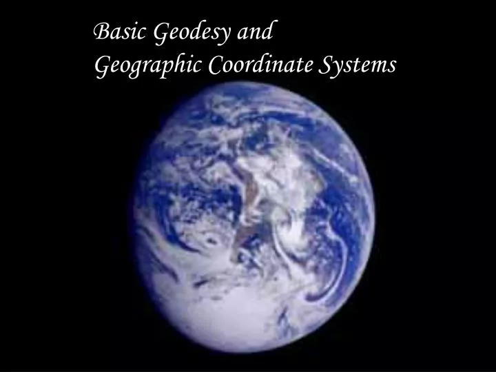
Basic Geodesy and Geographic Coordinate Systems
Geometric Transformations from The Earth to the Map
What if the Earth were … A Perfect Sphere
Modern Radius and Circumference Measurements Sphere equal in surface area to an oblate ellipsoid (spheroid)
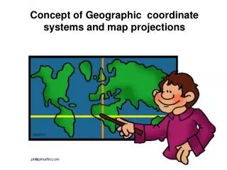
Geographic Coordinate System: Parallels of Latitude and Meridians of Longitude
What if the Earth were … An Oblate Ellipsoid
Sir Isaac Newton’s Idea … Law of Gravity tells us the Earth must be oblate due to its rotation.
Radius of Curvature is Larger in Polar Areas than in Equatorial Areas So ground distance between equal increments of Latitude is greater in polar areas
Expedition to determine if the Earth is oblate or prolate To Lapland in 1736
To Ecuador in 1736 Measurements showed Polar Distance per degree Of Latitude greater than Equatorial – It’s Oblate!
Historic and Current Oblate Ellipsoids Semi-major Semi-minor Name Date Axis (m) Axis (m) Maupertuis 1738 6,397,300 6,363,806.3 Airy 1830 6,377,563.4 6,356,256.9 Everest 1830 6,377,276.3 6,356,075.4 Bessel 1841 6,377,397.2 6,356,079 Clarke 1866 6,378,206.4 6,356,583.8 Clarke 1880 6,378,249.1 6,356,514.9 International 1924 6,378,388 6,356,911.9 Krasovsky 1940 6,378,245 6,356,863 Australian 1965 6,378,160 6,356,774.7 S. American 1969 6,378,160 6,356,774.7 Indonesian 1974 6,378,160 6,356,774.5 GRS 80 1980 6,378,137 6,356,752.3141 WGS 84 1984 6,378,137 6,356,752.3142
Different Ellipsoids Used as Best Fit Surfaces for Different Places
What if the Earth were … North American Datum of 1927 (NAD 27) A Geoidal Surface !
Numerous Older Local Datums Used in Different Places across the Globe
Numerous Older Local Datums Used in Different Places across the Globe Afghanistan Herat North datum Of 1959 International Ellipsoid Datum Origin: 34°23’09”N, 62°10’59”E
Numerous Older Local Datums Used in Different Places across the Globe Philippines Philippine Reference System Of 1992 Clarke 1866 Ellipsoid Datum Origin: 13°33’41”N, 121°52’03”E
Numerous Older Local Datums Used in Different Places across the Globe Iraq Karbala datum Of 1979 Clarke 1880 Ellipsoid Datum Origin: 32°34’14”N, 44°00’50”E Being replaced by Iraqi Geospatial Reference System
NAD 27 vs. NAD 83 What if the Earth were …
What if the Earth were … NAD 83 Terrestrial Reference Frame Thousands of Geodetic Control Points And more recently by Continuously Operating (GPS) Reference Stations
What if the Earth were … CORS data allow tectonic plate velocities to be Determined relative to the center of the continent So NAD 83 coordinates can be updated
What if the Earth were … NAD 27 to NAD 83 Latitude and Longitude Shifts 1” Latitude ≈ 30 meters 1” Longitude ≈ 28 m at 25°N 20 m at 50°N
What if the Earth were … The NAD 27 to NAD 83 Geographic Coordinate Shift is large enough that we show it on Large-scale Topographic Maps
World Geodetic System of 1984 (WGS 84) is the best current global ellipsoid 6378137.0 m semi-major axis 6356752.3142 m semi-minor axis Flattening: 1/298.257223
The International Terrestrial Reference Frame is The WGS 84 Terrestrial Reference Frame
What if the Earth were … The difference on the ground between NAD 83 and WGS 84 points with identical Latitidues and Longitudes varies from 1.3 to 1.9 meters, with most places about 1.5 meters 1.5 m 1.3 m 1.9 m
New Iraqi Geospatial Reference System GRS 80 Ellipsoid Datum Origin: Earth Center of Mass • Terrestrial Reference Frame: • Several Continuously Operating • Reference Stations (CORS) • High Accuracy Reference Network • (HARN) of accurate GPS stations
What if the Earth were … A Geoid !
Global Geoid is the Average Mean Sea Level Surface for all the Oceans
For the North American Vertical Datum of 1988 (NAVD 88) the Local Geoid Mean Sea Level Datum Is defined by the Tidal Gauge at Rimouski, Quebec
North American Vertical Datum of 1988 (NAVD 88) Terrestrial Reference Frame What is Geodetic Leveling ? Vertical surveying is the process of determining elevations above mean sea-level. In geodetic surveys executed primarily for mapping, geodetic positions are referred to an ellipsoid, and the elevations of the positions are referred to the geoid. However, for satellite geodesy the geoidal heights must be considered to establish the correct height above the geoid. Precise geodetic leveling is used to establish a basic network of vertical control points. From these, the height of other positions in the survey can be determined by supplementary methods.
NAVD 88 Local Geoid heights relative to the GRS 80 Ellipsoid Surface Most places in the U.S. the Geoid is below the ellipsoid
Cartographic Uses of the Ellipsoid Ellipsoid Heights from GPS Receivers