Download
1 / 19
190 likes | 195 Vues
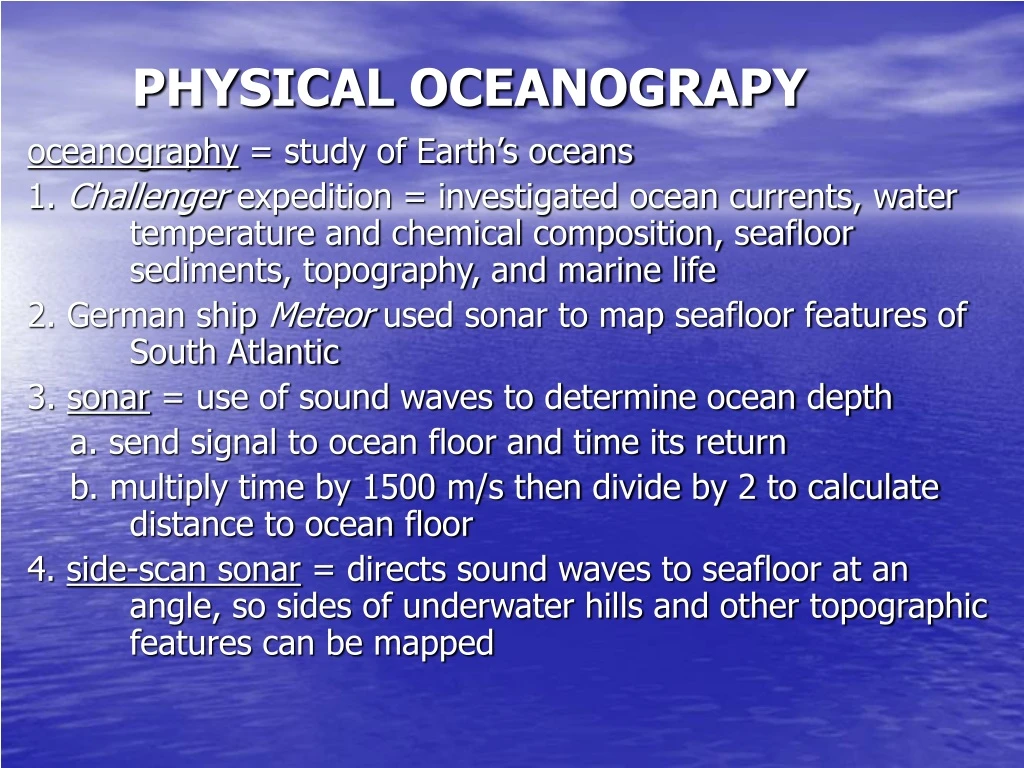
PHYSICAL OCEANOGRAPY. oceanography = study of Earth’s oceans 1. Challenger expedition = investigated ocean currents, water temperature and chemical composition, seafloor sediments, topography, and marine life 2. German ship Meteor used sonar to map seafloor features of South Atlantic

E N D
PHYSICAL OCEANOGRAPY oceanography = study of Earth’s oceans 1. Challenger expedition = investigated ocean currents, water temperature and chemical composition, seafloor sediments, topography, and marine life 2. German ship Meteor used sonar to map seafloor features of South Atlantic 3. sonar = use of sound waves to determine ocean depth a. send signal to ocean floor and time its return b. multiply time by 1500 m/s then divide by 2 to calculate distance to ocean floor 4. side-scan sonar = directs sound waves to seafloor at an angle, so sides of underwater hills and other topographic features can be mapped
Origin of Ocean: 1. some water came from comets that collided with early Earth 2. about 4 billion years ago water vapor began to accumulate in Earth’s atmosphere due to volcanic activity 3. eventually it cooled enough to produce precipitation 4. over millions of years water filled low areas on Earth called basins
ocean = continuous body of saltwater that covers about 71% of Earth’s surface 1. contain 97% of water found on Earth 2. global sea level = level of ocean’s surfaces a. rises and falls by hundreds of meters in response to melting ice during warm periods and expanding glaciers during ice ages b. also affected by tectonic forces that lift or lower portions of seafloor c. current rising at rate of 1 to 2 mm per year 3. average depth = 3800 m
4. three major oceans = Atlantic, Indian, and Pacific (largest and deepest) a. Mediterranean Sea, Black Sea, and Arctic Ocean are all considered part of Atlantic Ocean b. Arctic Ocean = Atlantic Ocean north of arctic circle c. Antarctic Ocean = region surrounding Antarctica, south of 50o south latitude 5. sea = part of an ocean that is partly or mostly land-locked 6. sea ice a. sea ice crystals first form creating ice slush b. pancake ice = thickening ice eventually solidifies into individual round pieces c. pack ice = eventually pieces of pancake ice thicken and freeze into continuous ice cover
Composition of Sea Water: 1. mixture of gases and solids dissolved in pure water a. 96.5 % water and 3.5% dissolved salts b. dissolved gases = oxygen, nitrogen, and CO2 c. nutrients = nitrates, phosphates, and silicates 2. contain many dissolved elements a. sodium and chlorine are most abundant (sodium chloride) 1) combine to form halites = salts 2) gives ocean its characteristic taste b. also has calcium, magnesium, potassium, silicon 1) sea animals and plants use these in their life processes 2) use to make bones and shells
3. source of salt a. volcanic gases add chlorine and sulfate ions to water b. weathering of crustal rocks adds other ions such as sodium, calcium, potassium, iron, magnesium c. ions are washed into rivers and transported to oceans 4. removal of salt a. can precipitate from water near arid, coastal regions b. small salty spray from waves is picked up by wind and deposited inland c. marine organisms use in life processes
5. physical properties: a. more dense than freshwater; density depends on salinity and temperature 1) cold water is denser than warm water 2) ranges from 1.02 g/cm3 to 1.03 g/cm3 3) freezing point = -2oC b. intensity of light decreases with depth 1) light only penetrates upper 100 m of seawater 2) water absorbs light
salinity = measure of amount of dissolved solids in sea water 1. expressed as grams of salt per kilogram of water or parts per thousand (ppt) 2. every 1000 L contains about 35 L of dissolved salts (3.5% or 35 ppt) 3. 35 parts/1000 parts of water; 1 kg water would have 35 g of solid (salt) 4. actual salinity varies from place to place 5. regions can range from 37 ppt to 32 - 33 ppt desalination = removing salt from ocean water to produce fresh water * 97% of Earth’s water is in the oceans
OCEAN LAYERING: 1. surface temperatures range from -2oC in polar waters to 30oC in equatorial regions with average being 15oC 2. temperature decreases with depth 3. temperature profile = shows changing water temperatures with depth a. vary depending on location and season b. divides ocean into 3 layers 1) surface layer = ~100 m thick, light penetrates 2) thermocline = region of rapidly decreasing temperatures with depth 3) bottom layer = cold and dark with temperatures near freezing 4. polar seas = thermocline and warm surface layer absent; cold all way through 5. layering basically caused by density differences
OCEAN WAVES waves = movements in which water alternately rises and falls 1. rhythmic movement that carries energy through space and matter 2. generated mainly by wind flowing over water’s surface 3. as wave passes water moves up and down in circular pattern and returns to original position; only energy moves forward
Characteristics of a Wave: 1. crest = highest point of wave 2. trough = lowest point of wave 3. wavelength = horizontal distance between the troughs or crests or two successive waves a. wave base = equal to half the wavelength b. determines speed of wave movement; wave speed increases with wavelength 4. wave height = vertical distance between crest and trough a. depends on wind speed, wind duration, and fetch b. fetch = expanse of water that wind blows across 6. wave period = amount of time it takes consecutive crests or troughs to pass a given point 7. wave frequency = number of crests or troughs passing a given point in a wave period
Wave Types: 1. breaker = ocean wave that tumbles forward and breaks up as it approaches shore a. caused by top moving faster than bottom b. begin to lose energy because of friction with bottom of ocean c. called breaker zone 2. swells = long, wide waves that are not very high - as get closer to land will get closer together 3. surf = surging water onto the shore
4. wind waves = formed when wind blows across a body of water a. friction causes water to move along with wind b. wave increases in height as wind continues to blow c. will stop forming when wind stops blowing d. once in motion the wave can continue to move for long distances 5. undertow = retreating water a. can be quite strong b. can pose a danger to swimmers c. can extend for several kilometers offshore
tide = periodic rise and fall in sea level due to gravitational forces of sun and moon on Earth 1. high tide = highest level water rises 2. low tide = lowest level water drops to 3. tidal range = difference between high tide and low tide a. varies from place to place b. greatest range occurs in Bay of Fundy in Canada (15 m) 4. daily cycle of high and low tides takes 24 hours and 50 minutes a. high tides occur about one hour later each day
5. semidiurnal = areas that experience two high tides and two low tides every day Ex: Atlantic and Pacific coasts of United States 6. diurnal = areas that experience one high tide and one low tide every day Ex: Gulf of Mexico 7. spring tides = when sun, moon, and Earth are lined up a. high tides highest, low tides lowest = tidal range greatest b. occur twice each month during full and new moon positions 8. neap tides = when sun, Earth, and moon form a right angle a. occur during first and third quarter moon positions b. low tidal range due to high tides being lower and low tides being higher than normal = minimum tides
Ocean currents: 1. surface currents = caused by winds a. affects only the upper few hundred meters of seawater b. friction between wind and water surface causes water to move; as fast as 100 km/day c. driven by Earth’s global wind systems 1) trade winds → tropical ocean currents flow from east to west 2) prevailing westerlies → northern midlatitudes ocean currents move from west to east 3) polar easterlies → currents move from east to west d. currents on western coasts are cold while currents on eastern coasts are warm because originate closer to equator e. can affect climate of areas pass by
2. density currents = formed by movement of more dense seawater moving toward an area of less dense seawater a. also called thermohaline currents b. affected by temperature and salinity c. decrease density by increasing water (ice melts, rainfall, runoff) d. increase density by decreasing water (freezing, evaporation) e. cold water at polar regions sink and slowly move as one mass along ocean bottom toward equator f. at same time warm water from equator moves toward poles
3. gyres = closed circular systems formed when continents deflect ocean currents to north and south a. 5 major ones exist: North Pacific, North Atlantic, South Pacific, South Atlantic, and Indian Ocean b influenced by Coriolis effect 1) north of equator = move in clockwise motion 2) south of equator = move in counterclockwise motion c. parts closes to equator move towards west as equatorial currents 1) when encounter landmass, deflected toward poles 2) carry warm, tropical water into higher, colder latitudes 3) when enter polar regions will gradually cool and deflected by land moves back toward equator 4) brings cold water from high latitudes into tropical regions
upwelling = vertical rising of deep cold currents to ocean surface 1. waters originate from bottom of ocean and are therefore cold 2. bring high concentrations of nutrients to surface 3. nutrients are from organisms that died and sank 4. produces very productive fishing areas; best are off coasts of Peru and California 5. usually exists mainly off western coasts of continents in trade wind belts -along coasts of Oregon, Washington, and Peru