Download
1 / 39
530 likes | 886 Vues
Bus Rapid Transit in Rouen, France Using Siemens Optical Guidance System. Contents Community Transit Overview Historical Summary Today’s System Capital and Operating Costs Optical Guidance and Signaling Dealing with Narrow Rights of Way Urban Integration Rolling Stock

E N D
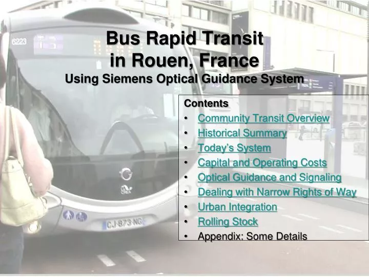
Bus Rapid Transit in Rouen, FranceUsing Siemens Optical Guidance System Contents • Community Transit Overview • Historical Summary • Today’s System • Capital and Operating Costs • Optical Guidance and Signaling • Dealing with Narrow Rights of Way • Urban Integration • Rolling Stock • Appendix: Some Details
CREA since 1st January 2010 Communauté de l'Agglomération Rouen Elbeuf Austreberthe La CREADirection de la communication14 bis avenue PasteurCS 50589 - 76006 ROUEN Cedex • 70 municipalities • 493,382 inhabitants
Areas of jurisdiction Economic development (roughly equivalent to Metropolitan Planning Organization [MPO]) Public transport Solidarity Cultural and sports activities (Re-) Employ-ment Sanitation Grants for small municipali-ties Water Waste Municipal policy Spatial planning Environment Tourism
The CREA transport network Metrobus TEOR (Rouen East-West Transport) Structuring lines Secondary lines TAE lines (Elbeuf transport)
Topography Population density (1999) Topography
Objectives: Improve access to districts with high population densities Enable access to the congested shopping mall Enable access to frequently used facilities (Government center, University Hospital center, University faculties) “TEOR” Transport Est-Ouest de Rouen(Rouen East-West Transit)
1994 (December): North-South light rail (with downtown subway) commissioned 1996 (December): Request for Proposals based on performance forecast for east-west light rail line 1997 (December): RFP declared unsuccessful due to high cost of rail option 1997 (December): New RFP for BRT-based system Background of the East-West transport scheme
1999 (July): Declaration of Public Utility (i.e. Project approved for National-level funding) 2001 (February): Lines T2 and T3 West enter service 2002 (April): Line T1 West enters service 2003 (February): Launch of work in Rouen city center and to the East 2007 (January – December): TEOR gradually enters service eastwards Background to the East-West transport scheme
The lines of the Greater Rouen network Metro: - 1 line 9.4 miles long - 31 stations / 5 municipalities - 28 train sets - Journey speed: 11.9 MPH - Frequency: 2.5 min peak 6 min off-peak - 65,335 boardings / day TEOR: - 3 lines 18.5 miles long - 53 stations / 8 municipalities - 66 vehicles - Journey speed: 10.9 MPH - Frequency (common sections): 2 min peak hours 3 min off-peak hours - 69,170 boardings / day
The lines of the Greater Rouen network Bus network: - 8 structuring lines - 22 secondary lines - 11 taxi lines - 28 school lines - 53, 000 journeys / day
College/University Frequently used facility High density housing Shopping mall Final TEOR right-of-way University campus Gov’t Center Railway Station Univ. Hospital Law School Medical School School of Architecture Shopping Center & Stadium
Network intermodality Park & Ride Metro / TEOR Interchange Rest area Bike-share area Secure bicycle base Structuring bus lines
Growth of TEOR ridership Boardings Per Year Year
Comparison of Rail and BRT Costs Light Rail BRT Bus (Line-haul) Light Rail BRT Bus (Line-haul)
Project investment costs(€ million) Investment cost: € 196 million • TEOR investment cost: € 6.5 million/km • Light Rail investment cost: € 31.3 million/km
Annual operating costs(€ thousands in 2011) Operating costs: € 1,624,000
Dealing with Narrow Rights-of-Way Vehicles travel on a two-lane busway with a concrete barrier separating them from general traffic Vehicles travel on a single (central or lateral), with a crossable concrete strip separating them from general traffic Vehicles circulate with general traffic, but with fully equipped stations Two-way lane length: 4.5 mi. One-way lane length: 3.7 mi. Unmarked lane length: 10.2 mi.
Lane Structure • TEOR operation with a single center bus-lane: • Direction of bus travel alternates by sections • Station is always in a reserved lane so stopped bus does not block traffic TEOR Westbound TEOR Eastbound TEOR lane Lane open to general traffic Traffic and bus signals
Lane Structure Dedicated corridor 2 protected lanes (5.9 km) Dedicated corridor 2 reserved lanes (2.4 km) Dedicated corridor 1 protected lane (1.7 km) Dedicated corridor 1 alternating lane (3.5 km) Unmarked lane (9.5 km) Unequipped lane (6.8 km)
System operation support Sound systems for stations and buses Readouts Priority traffic lights Special signage Ticketing system Systems
Transceiver tower at highest point (Canteleu) Flashing triangle indicates the approaching TEOR has been detected and will have all green lights as soon as unloading/loading is confirmed by the driver Signal priority Oversight by the central control system Station/Stop (located before the intersection)
Optical guidance • Operation: • The camera reads coded marks on the ground indicating the required route • A computer analyses the vehicle's position relative to the lane and transmits the required corrections to the steering wheel Man-machine interface Camera Wheel encoder Torque motor IT network Ground marks
Horizontal gap Vertical gap Gaps On average, vertical gaps are 4.25 cm high and horizontal gaps are between 4 and 5 cm wide
Station/Stops Design identical to that of tramway stations
Integration with Traffic Before After
Integration with Traffic Before After
Urban integration Before After
Urban integration Before After
Rolling stock 38 Irisbus Crealis Neo vehicles (37 Diesel + 1 hybride) 28 CITELIS vehicles (Diesel) • Length: 17.8 m • Capacity: 115 places including 40 seated • Optical guidance system • Accessible to persons with reduced mobility and pushchairs • Air-conditioned • Sliding doors • Complete low floor • Escape through the top
Appendix:Some Details • Financial support • Stakeholders • Optical guidance alerts • Changes in alert rates
Subsidies: € 82 million • European Federation (EU) € 9.4 million • Central government € 29.8 million • Regional council € 18.6 million • Department € 18.6 million • Municipalities € 5.6 million (For participation in streetscape work, EDF and utility relocation) Financial support
Stakeholders in the project • Phase 1: • Contracting authority: Greater Rouen Urban Authority • Contracting Owner Support (COS): Sogeti • Project Managers: Systra, Thales, Artefac, Attica, Outside, Bailly • End of phase 1: • Contracting authority: Greater Rouen Urban Authority • COS: Systra • Project Managers / City center: Era, Thales, Territoires Sites et Cités • Project Managers / Suburbs: Ingetec, Folius, Outside • Project Manager / Systems: Setec
5 categories of alerts • Guidance malfunction:failure of the optical guidance system (OGS): system reset. • Loss of guidance:momentary loss of guidance during operation: system reset. • Vigilance: markings misread by the OGS. • Operational: alerts caused by operating conditions and the immediate environment of the vehicle during the guidance: system reset. • Unclassified Optical guidance Alert rate per 10,000 landings in 2011 1.13 per 10,000 0.02 per 10,000 0.01 per 10,000 0.30 per 10,000 0.07 per 10,000 1.53 in total
Change in alert rate 1 2 3 4 5 1. Out of tolerance 2. Out of service 3. Faulty guidance 4. Loss of guidance 5. False alarm (?)