Download
1 / 22
220 likes | 346 Vues
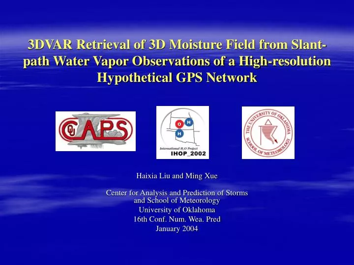
3DVAR Retrieval of 3D Moisture Field from Slant-path Water Vapor Observations of a High-resolution Hypothetical GPS Network. Haixia Liu and Ming Xue Center for Analysis and Prediction of Storms and School of Meteorology University of Oklahoma 16th Conf. Num. Wea. Pred January 2004.

E N D
3DVAR Retrieval of 3D Moisture Field from Slant-path Water Vapor Observations of a High-resolution HypotheticalGPS Network Haixia Liu and Ming Xue Center for Analysis and Prediction of Stormsand School of Meteorology University of Oklahoma 16th Conf. Num. Wea. Pred January 2004
Background and Motivation Suominet (Ware, 2000) • Accurate analysis of 3D water vapor field is important for NWP. • GPS networks can potentially provide slant-path water vapor measurements at high spatial and temporal resolutions. Also, ground-based GPS receivers are relatively inexpensive.
Background and Motivation ~ continued • The past works using 4DVAR and 3DVAR methods include • Kuo et al. (1996), Guo et al. (2000), and Ha et al. (2003) • MacDonald and Xie (2002)
This Work • Retrieve 3D moisture distribution using slant-path water vapor data from a hypothetical GPS observation network. • Using 3DVAR data assimilation (Lorenc 1981; Daley 1991) techniques, including treatment of background errors.
Outline • The 3DVAR method • Observing System Simulation Experiments (OSSE) • Numerical experiments • Summary
3DVAR Assimilation System The following cost-function is minimized variationally
3DVAR Assimilation System - continued Define a new vector v(Huang, 2000), The cost function can be written as: which does not involve the inverse of B.
3DVAR Assimilation System - continued B, the background error covariance matrix, is modeled using isotropic Gaussian filter
OSSE ARPS model (Xue et al, 2000) simulates one dryline case (‘nature’ run) during IHOP_2002 field experiment period • initialized at 12UTC June 18, 2002 integrated for 3hours • grid spacing 9km • in a terrain-following coordinate. • domain size 1620x1440km2 over Southern Great Plain This ‘nature’ run result is considered as true atmosphere
qv at 30m above ground Specific humidity field (g kg-1) at the second model level (~30m) above ground, valid at 1500 UTC June 18, 2002, from the ‘nature’ run.
GPS Satellite GPS Satellite (km) km km Hypothetical GPS network
Hypothetical GPS network • 9 GPS satellites • simultaneously in view • irregularly distributed • 132 Ground-based GPS receivers: • evenly distributed in this domain • station distance is 144 km.
Slant-path Water Vapor (SWV) Observations With this hypothetical GPS observing network and moisture field of ‘nature’ run is sampled to produce the SWV observations:
Control Experiment • Observations: • SWV • regular qv obs at the surface stations • Background field: • 9-point smoothing 50 times to the ‘natural’ run.
Analysis Increment from Control “Nature” qv increment ~30m above ground The increment fields of qv (g kg-1) at ~30m above ground
Analysis Increment from Control “Nature” qv increment ~1.5km above ground The increment fields of qv (g kg-1) at 1.5km above ground
Analysis Increment from Control “Nature” qv increment ~3km above ground The increment fields of qv (g kg-1) at 3km above ground
West-East Vertical Cross-section of qv @ 34N The red solid line is from the control experimentand the purple dotted line from the ‘nature’ run.
Sensitivity experiments • The impact of removing surface moisture observations. qv increment ~ 30m above ground
The impact of removing vertical filtering • The RMS error in g kg-1 with height. Solid line is for the control run and dashed line for the run without vertical filtering
Summary • Our 3DVAR system incorporating background error through an isotropic Gaussian filter properly recovers 3D meso-scale moisture structure in a dryline case. • Surface observations are important for accurate analysis of qv field at low levels because of the absence of overlapping paths • The vertical filter is beneficial, especially in data-sparse regions such as the low levels.
Future work • Riishojgaard (1998) points out that the background errors at nearby points that have similar values of the analysis field tend to be similar. Flow-dependent background error covariance based on such an assumption should improve the analysis, especially when data is sparse. So flow-dependent B is being tested. • The analysis will be used to initialize a mesoscale model and the impact of assimilating GPS data will be further examined. • Analysis cycles will be performed that hopefully will increase the impact of GPS SWV data distributed over time.