Download
1 / 8
80 likes | 187 Vues
Geographic Literacy. Mid-Unit Test Review. THINGS TO REMEMBER. Everything is fair game: I might draw questions from: Notes Assignments Readings Discussions Field Trips. Mid-Unit Test Format. The test will be 70 marks as follows: 15 marks fill in the blanks (no word bank)

E N D
Geographic Literacy Mid-Unit Test Review
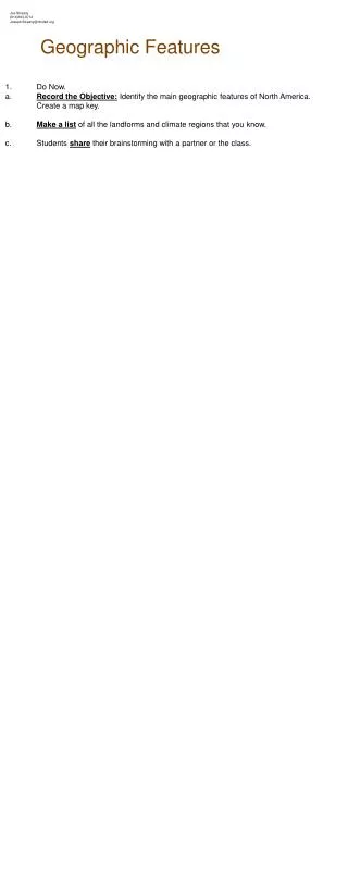
THINGS TO REMEMBER Everything is fair game: I might draw questions from: • Notes • Assignments • Readings • Discussions • Field Trips
Mid-Unit Test Format The test will be 70 marks as follows: • 15 marks fill in the blanks (no word bank) • 12 marks on a map work • 10 marks of parts of a compass • 15 marks compass rose labels • 18marks of short answer (do 9 out of 12 choices)
TERMS: geography has many terms, and you are responsible for: • prime meridian • Global Positioning System (GPS) • Time zone • standard time • International Date line • Daylight-saving time • direct statement scale • line scale • Representative fraction scale • GIS • database • ArcView • graduated colour map • aerial photo • stereo pair • CBD • satellite • remote sensing • geostationary orbit • false colours • radar • Geographical systems • global connections • mental map • population density • Gross Domestic Product (GDP) per capita • map projection • Mercator projection • equal-area projection • WinkelTripel projection • Map scale • General-purpose map • thematic map • topographic map • Compass point • compass rose • compass bearing • Alphanumeric grid • map grid • latitude • Longitude
Assignments: PAGES 6/7: ALLPAGE 26: 1,2(AB),3,4,6,7(AB),9(A)PAGES 40/41: 2,3,4,5,6,7,13(ABC),14(ABCDE)PAGES 47/48: 1(AB),2,3,4,5,6(ABC),9(AB),10(ALL),12(ALL),13(ALL)PAGES 66: (1,2,4,5A)
Readings: • CHAPTER ONE, ESPECIALLY: 3,10,11,12CHAPTER TWO, ESPECIALLY: 18,20,21,23CHAPTER THREE, ESPECIALLY: 27,30,31,34,35,36,37,39CHAPTER FOUR, ESPECIALLY: 45,46CHAPTER FIVE, ESPECIALLY: 50-53CHAPTER SIX, ESPECIALLY:55CHAPTER SEVEN, ESPECIALLY: 61,62,64,66PARTS OF A COMPASS - (POWERPOINT), ESPECIALLY THE LABELLED DIAGRAM
Short Answer: may include (but is not limited to): • Map distortions • Types of maps and uses • GIS uses • Satellites and orbits • Map scales • Time zones et al • Latitude and longitude • RADARSAT • Remote sensing
SQ3R your notes and readings and you won’t “choke” up on the test! Calvin obviously didn’t study!