Download
1 / 40
1k likes | 1.81k Vues
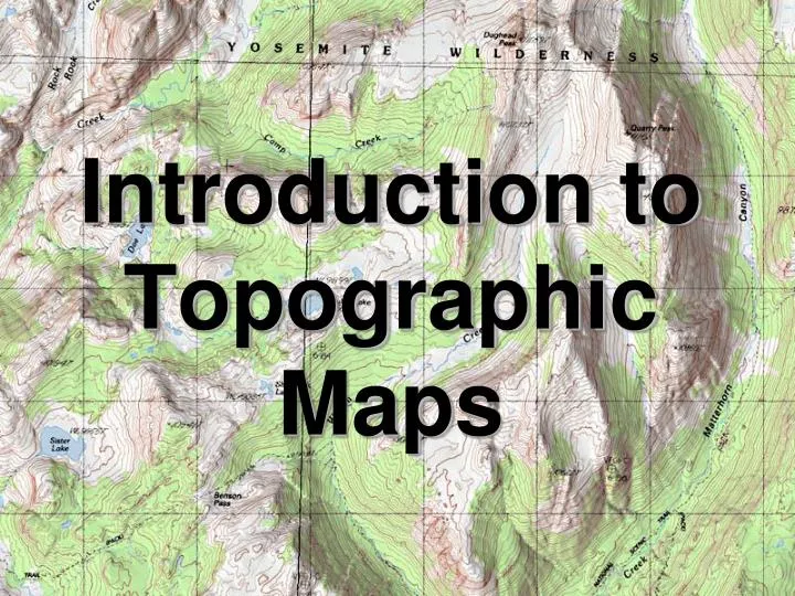
Introduction to Topographic Maps. Topographic Maps. Two dimensional model of the Earth’s surface (represents 3-D world) Topographic maps are also known as contour maps . Show elevation above sea level using contour lines. “Real World”. Contour Map. Topographic Maps. Contour Line –

E N D
Topographic Maps • Two dimensional model of the Earth’s surface (represents 3-D world) • Topographic maps are also known as contour maps. • Show elevation above sea level using contour lines.
“Real World” Contour Map
Topographic Maps • Contour Line – - line on a map that connects points of EQUAL elevation. - show elevation and shape of the land • Relief – Difference between high and low elevations
Topographic Maps • Contour Interval – difference in elevation between each line. MUST be equal spacing. Contour interval = 20 feet 580 560 540 520
Topographic Maps • Index Contour – Usually every 5th line is printed darker and has an elevation printed on it.
Rules for Contours • Contour lines never cross
Rules for Contours 2. Contours form closed loops (even if not shown of the map.
Rules for Contours 3. Contours bend upstream (uphill) when crossing a stream.
Tracking Flowing Water • How does water always flow? DOWNHILL • How can we tell what direction (N,S,NW,ESE) is downhill? PSC 121 Prince George's Community College
Tracking Flowing Water You can look for elevation changes since water will flow from higher to lower elevations. Here the stream flows toward the northwest. 2000 ft 2100 ft PSC 121 Prince George's Community College
Tracking Flowing Water You can look at the contour lines as they cross the stream. They will always point upstream. Downstream Upstream PSC 121 Prince George's Community College
Rules for Contours • The maximum possible elevation for a hill is “1” less than what the next contour “should” be. The highest possible elevation of the hill is just below the value of the next line that is not shown 90 80 70 60 50
399 179 239
Closely Spaced Contours • Steeper Slope (Gradient) – contour lines are closer together.
Wide Spaced Contours • Gradual/Gentle Slope (Gradient) – contour lines are farther apart.
A B
Steep or flat? You can tell whether a region on a map is steep terrain (hill/mountain) or relatively flat (plain) by looking at contour lines. HOW? We need to calculate a terrain gradient. This is the change in elevation over the change in distance along the ground. PSC 121 Prince George's Community College
Steep or flat? Elevation change 2170-2150 = 20 feet Gradient 20ft/0.5 mi = 40 ft/mi Flat Elevation change 1380-780 = 600 feet Gradient 600ft/0.5 mi = 1200 ft/mi Steep 0.5 mile distance PSC 121 Prince George's Community College
Contours and Profiles You can generate a profile of a landform from the contour lines on a topographic map. Click on image to see contours develop http://reynolds.asu.edu/topo_gallery/images/hillmap.gif PSC 121 Prince George's Community College Simple contour map
Depressions • Contour lines which show a depression, crater, or sinkhole on a map. • Shown by dashed lines (hachure marks) on the inside of a contour line • The elevation of the first depression contour is the same as the lowest regular contour near it.
Rules for Contours The lowest possible elevation for a depression is “1” more than what the next contour “should” be. The lowest possible elevation of a depression is just above the value of the next line that is not shown 90 90 51 80 70 60 50
100 100 50
Benchmarks • a location whose exact elevation is known and is noted on a brass or aluminum plate. • bench marks are shown on maps by an X with the letters BM written next to them.
Map Scales • Indicates the distance on the map compared to distance in the real world • Graphical - by a line divided into equal parts and marked in units of length.
Map Scales • Numerically – usually by writing a fraction to show what part of the true distances map distances really are. • 1:63,360 • One inch on the map equals 63,360 Inches in the real world. (There are 63,360 inches in a mile)
Gradient • A trail is four miles long as measured by the scale on a map. The beginning of the trail is at the 1,060 ft contour line and the end of the trail is at the 960 ft contour line. Calculate the gradient of the trail. Gradient = = 1060 ft – 960 ft 4 miles 25.0 ft/mi
Contour Lines Elevation is indicated by contour lines. A contour line is a line of equal elevations. All points on a contour line have the same elevation. 800 feet http://raider.muc.edu/~mcnaugma/Topographic%20Maps/contour.htm 700 feet PSC 121 Prince George's Community College
Contour Lines The elevation difference from one line to another is called the contour interval. On the map portion below the contour interval is 20 ft. 20 ft elevation decrease 20 ft elevation increase http://raider.muc.edu/~mcnaugma/Topographic%20Maps/contour.htm 20 ft elevation increase PSC 121 Prince George's Community College
Contour Lines The contour interval is usually printed on a topographic map. However, you can always calculate the interval from the lines with values. PSC 121 Prince George's Community College
Review Questions • How are contour lines drawn on maps? • How does a contour map show whether a slope is gentle or steep? • What is a benchmark? • How is a benchmark shown on a map? • How is distance measured on a contour map?