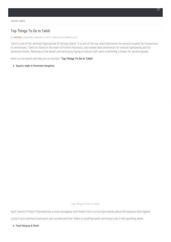
Tahiti
Tahiti. Map. Images. Travel. Map of Tahiti. Tahiti is located in a chain of islands called the French Polynesia. It is at the end of the island chain . Traveling to Tahiti. There are 6 parks and gardens to view on the island.
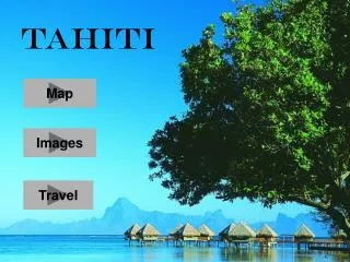

Tahiti
E N D
Presentation Transcript
Tahiti Map Images Travel
Map of Tahiti Tahiti is located in a chain of islands called the French Polynesia. It is at the end of the island chain.
Traveling to Tahiti • There are 6 parks and gardens to view on the island. • There are many water activities available. Some include: scuba diving, water skiing, deep sea fishing, lagoon excursions, and much more. • The animal life is limited on the island but there is an abundance of marine life. • To find out more about these attractions and traveling to the island click here