Discovering the World Through a Map
230 likes | 542 Vues
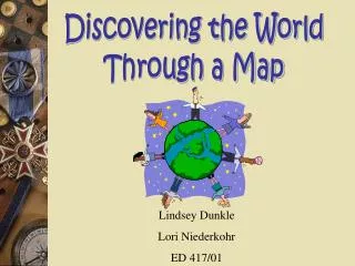
Discovering the World Through a Map. Lindsey Dunkle Lori Niederkohr ED 417/01. Academic content standard : Geography Unit : Maps Grade : 2 nd Lesson topics : Interpreting a key and scale, creating a map, cardinal directions, exploring various maps, locating places on a map.

Discovering the World Through a Map
E N D
Presentation Transcript
Discovering the World Through a Map Lindsey Dunkle Lori Niederkohr ED 417/01
Academic content standard: Geography Unit: Maps Grade: 2nd Lesson topics: Interpreting a key and scale, creating a map, cardinal directions, exploring various maps, locating places on a map
Objectives • Identifying and become familiar with various types of maps such as world maps, street maps, state maps, map of the U.S. • Identify and use a key and scale to locate places on a map. • Identify and correctly use terms associated with directions. • Construct a map that includes a title, key, and cardinal directions.
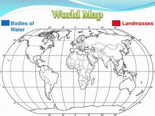
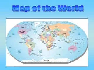
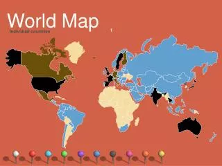
Activity 1: Exploration of Maps • Students will get into groups of four. Each group will be given four different types of maps. They will identify, describe, and explain the uses and features of each map. • Materials: • World map, map of the U.S., local street map, and Ohio state map, paper, pencil
Divide students into four groups and pass out materials. • Explain and discuss the four types of maps that will be used in this activity. • The students will examine the maps . They will identify the features of each map and discuss what each could be used for.
Students will create a list of how maps can be helpful to them. • **Extension: The students could compare and contrast the different types of maps by explaining how they are alike and different.
Activity 2: Creating a Compass • The students will create their own compass to help them understand and correctly use cardinal directions. • Materials: • clear plastic cup, pencil, bar magnet, thread, needle or small nail, cork, water, large map, and direction signs.
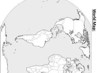
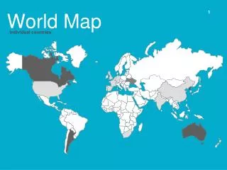
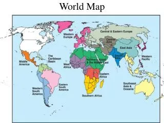
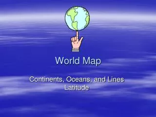
Introduction: Have students sit around a map such as this one. Explain the cardinal directions and demonstrate why direction such as “right” or “forward” are ineffective. Ask questions using the map such as, “what direction would I need to go to get to the barn?”
Discuss with students the cardinal directions; north, south, east, and west, and why we use them. Explain that direction is the point toward which something faces. • Show the students an example of a compass. Explain the basics about a compass such as the needle always points north. • Explain to the students that they will be making their own compasses. Give directions and pass out materials. • After the students complete their compasses, allow students to find north, south, east, and west. • ** Extension: Give the students simple directions using north, south, east, and west. Have students locate a position in the room.
Extensions: • Give the students simple directions using north, south, east, and west. Have students locate a position in the room. • Play compass tag! Place direction signs and pairs of similar objects in different places of the room. For example, place one crayon box in the north, and another in the east. Ask a student to tag one of them by saying: "Find the eraser in the east." The player must move to the correct eraser and tag it. Continue until every child has had at least one turn. Children must find the objects by using their knowledge of cardinal directions.
Activity 3: Using a Key The students will learn what a key on a map is used for. The students will be able to answer questions about a map by using and understanding the key. The students will also be able to create their own map key. Materials: A map with a key, an overhead, dry-erase marker, pencil, paper, crayons or markers, map for each group
Review the vocabulary associated with a map key. • Display a school map with a map key on the overhead. Ask the students questions about the map that requires them to use a map key. Allow students to ask their own questions. • Give each student their own map and have them ask each other questions using the map key. • Have students work in cooperative groups to design a map key using their own symbols and draw a map of the classroom.
Activity 4: Map Scales The students will learn about scales, and what they are used for. The students will learn how to use the scale on a map to determine distance. Materials: Overhead projector, dry-erase markers, maps with map scales, grid paper, and pencil and paper.
Explain to students that a map is not the actual size of an area. Explain that to find out the actual size of places, you refer to the map scale. • Show the students where the map scale is located and explain that the scale is in proportion to the object it represents. • Demonstrate how the students can use the scale to measure the length of objects or distance between two places. Use the overhead to show examples on a map. Use repeated addition to determine the distances. • Have the students use a map scale to determine the distances from several places to another place.
Activity 5: Wrapping it up! The students will use all of the skills that have been learned thus far to create and use their own map. Their maps will include a map title, scale, key with symbols, cardinal directions, and locations that are relevant. Materials: Large grid paper for each child, pencils, crayons or markers, and rulers.
Students will first decide what type of map they want to create. For example, school map, street map, map of the United States, etc. • Students will then create their scale and key, and have directions represented. • Then the students will construct their map with locations included. They may then decorate and color their maps. • Students will write on the back of the map what the map can be used for. The student will also write questions that another student can answer by using the map.
Extensions: • The students will swap their maps with another child. Each child will answer the questions the student created. This will require them to use the scale and map key. • Create a class book of maps and display it in the classroom or library.
Websites • www.enchantedlearning.com/geography • This website includes lots of information on various geography topics. This includes activities, maps of countries and continents, print outs, flags, and many other educational topics for early childhood education.
Websites Con't • www.scholastic.com • This website has online activities, lesson plans, teaching strategies, and teaching tools. When using this site, you can choose your grade and it then has a plethora of activities related to geography. This site is directed toward parents, teachers, or children. This page that is directed toward children has tons of activities that they can do themselves.
Websites Con't • www.lessonplans4teachers.com • This website is a great site for teachers to get ideas. Teachers can find lessons on various geography subjects such as maps, weather, and lots of helpful links. • www.discoveryschool.com • this website contains lesson plans for all topics of social studies, a teacher store, teaching tools, a curriculum center, a page for students that includes study tools, games, and learning adventures. This site would be very helpful to use a resource.
Websites Con't • www.kidsolr.com/earlychildhood/ • This is an online resource page for early childhood education. The social studies section includes lessons on geography and places in the Unites States and other countries.
Websites Con't • www.nationalgeographic.com/kids/ • This site is for the most part directed towards children. There are magazines, news, games, activities and experiments, homework help, book club, and maps for children among other things. There are other resources available to kids where they can get help. There is also a section for parents.