Air Masses and Fronts
METR 2413 5 April 2004. Air Masses and Fronts. Air Mass: a large volume of air that has remained over a surface for a long enough period of time to be modified by the surface relatively uniform horizontal temperature and moisture content

Air Masses and Fronts
E N D
Presentation Transcript
METR 2413 5 April 2004 Air Masses and Fronts
Air Mass: • a large volume of air that has remained over a surface for a long enough period of time to be modified by the surface • relatively uniform horizontal temperature and moisture content • relatively homogeneous temperature lapse rate above the influence of the surface layer Temperature of an air mass is classified by the general characteristics of its “source region” A = Arctic (or AA for Antarctic) P = Polar T = Tropical
In addition, air masses are also defined by their moisture characteristics: m = maritime (ocean) surfaces c = continental (land) surfaces The combination of temperature and moisture gives us five basic air mass types:
Continental Arctic (cA) • extremely cold, formed over poles • very dry due to extreme cold • usually originate north of the Arctic Circle (in winter, 24 hours of dark allow extreme cooling) • break southward across Canada and USA during winter • rarely seen at lower latitudes during summer since summer warms region; polar front and jet stream found at higher latitudes
Continental Polar (cP) • very cold, having developed over sub-polar regions (not as cold as Arctic air masses) • very dry, due to cold and developing over land • form further south in the subpolar Canadian North and Alaska • common across continent during winter • do form in summer, but mostly only in Canada and northern USA • typically bring clear and pleasant weather during the summer
Maritime Polar (mP) • very cool and moist • typically bring cloudy, damp weather • form over northern Pacific and northern Atlantic Oceans • can form at any time of year
Maritime Tropical (mT) • very warm – develop in tropical and sub-tropical latitudes • very humid • originate over warm waters of southern Atlantic Ocean, and Gulf of Mexico • can form year around, but are most common in summer • responsible for hot, humid days of summer across much of the eastern half of North America
Continental Tropical (cP) • very warm; develop in lower sub-tropical latitudes • very dry because of formation over land • form over the desert southwest and northern Mexico during summer • bring heat to the US Plains states and Mississippi Valley during summer • as air mass moves eastward, moisture is evaporated into it, making it more mT • these air masses rarely form in winter
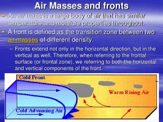
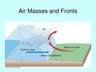
Fronts • narrow zone separating air masses of differing characteristics • typically only 50 to 100 km wide • narrow enough that they can be represented by lines on surface analysis charts • typically located in pressure troughs • fronts are characterized according to the character of the air mass moving
Dry Line: • boundary that separates moist air mass from a dry air mass • also called “Dew Point Front” • most commonly found just east of the Rocky Mountains; rare east of the Mississippi River • common in TX, NM, OK, KS, and NE in spring and summer Warm, moist air Southeast winds Hot, dry air Gusty southwest winds Rocky Mountains Dry Line
Idealized, simplified surface cyclone: • cool air ahead of warm front • warm sector between cool and cold air • cold air behind the cold front
Want to look at the connection between surface patterns and upper level wind flow Next up: VORTICITY!

