Download
1 / 30
300 likes | 492 Vues
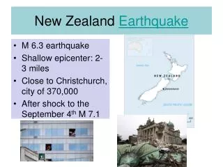
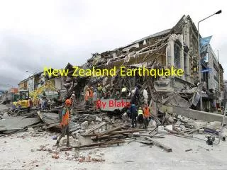
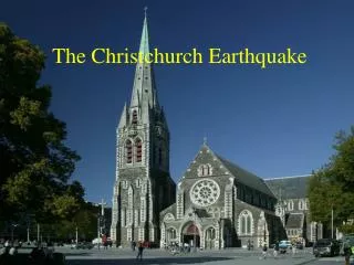
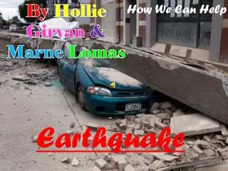
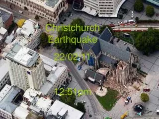
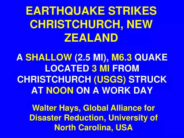
EARTHQUAKE STRIKES CHRISTCHURCH, NEW ZEALAND. A SHALLOW (2.5 MI), M6.3 QUAKE LOCATED 3 MI FROM CHRISTCHURCH (USGS) STRUCK AT NOON ON A WORK DAY. Walter Hays, Global Alliance for Disaster Reduction, University of North Carolina, USA. LOCATION MAP: CHRISTCHURCH .

E N D
EARTHQUAKE STRIKES CHRISTCHURCH, NEW ZEALAND A SHALLOW (2.5 MI), M6.3 QUAKE LOCATED 3 MI FROM CHRISTCHURCH (USGS) STRUCK AT NOON ON A WORK DAY Walter Hays, Global Alliance for Disaster Reduction, University of North Carolina, USA
Natural Phenomena that Cause Disasters Planet Earth’s Restlessness Causes Movement of Tectonic Plates: • Earthquakes
THIS QUAKE: AN AFTERSHOCK OF THE 3 SEPT 2010 QUAKE • Christchurch has been hit by hundreds of aftershocks since the M7.1 earthquake of 3 September 2010, which caused extensive damage and injuries, but no deaths.
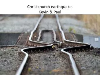
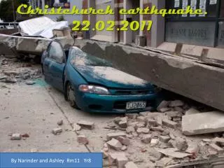
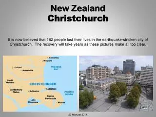
SOCIETAL IMPACTS EXACER-BATED BY SHALLOW DEPTH • Strong ground shaking toppled tall buildings and churches on a busy weekday, killing at least 100 people, severing communi-cation lines, and leaving the centre of the city looking like “a war zone.”
TRAPPED IN RUBBLE • More than 100 people, including as many as a dozen visiting Japanese students, are thought to be trapped in the rubble.
SEARCH AND RESCUE • Despite darkness and drizzling rain, rescue crews with sniffer dogs (and eventually heavy equipment) fanned out across the city in search of survivors, some of whom were sending text and phone messages from beneath the rubble.
UNUSUAL PHYSICAL IMPACTS • 40 million tons of ice were separated from Tasman Glacier located 120 mi from the epicentre, and flooding occurred in Bexley, a suburb of Christchurch.
RISK ASSESSMENT • VULNERABILITY • EXPOSURE • EVENT • COST • BENEFIT EARTH-QUAKES EXPECTED LOSS POLICY ADOPTION • CONSEQUENCES POLICY ASSESSMENT TIME FOR A NEW EARTHQUAKE SCENARIO AND A POLICY REVIEW: TOWARDS DISASTER RISK REDUCTION