

SlideServe
Menu
Préférences
© SlideServe · v2026

Rivers

Samuel avatar
19 diapositives · 811 Views · Nov 21, 2010

Rivers A glossary by Year 4 Source Waterfall Gorge Tributary Oxbow lake Meanders Deltas and estuaries Source The source can be called headwaters. It’s the beginning of a river. Back to title page More info Source The source may be fed by underwater springs, rain or melted snow.
Rivers - slide 1
01 / 19Rivers
1 / 17

Télécharger la présentation

Rivers
Une image / un lien ci-dessous est fourni (tel quel) pour télécharger la présentation

Politique de téléchargement : le contenu du site vous est fourni TEL QUEL pour votre information et votre usage personnel ; il ne peut être vendu, concédé sous licence ni partagé sur d’autres sites sans l’accord de son auteur.Le contenu vous est fourni TEL QUEL, pour votre information et votre usage personnel uniquement. Téléchargez la présentation en cliquant sur ce lien. Lors du téléchargement, si vous ne parvenez pas à télécharger une présentation, l’éditeur a peut-être supprimé le fichier de son serveur.Pendant le téléchargement, si vous ne parvenez pas à obtenir une présentation, le fichier a peut-être été supprimé par l’éditeur.

F I N

Plus de contenu associé

Transcription de la présentation
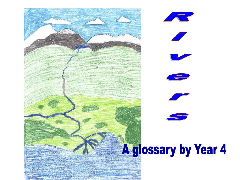
  1. Rivers A glossary by Year 4

  2. Source Waterfall Gorge Tributary Oxbow lake Meanders Deltas and estuaries

  3. Source The source can be called headwaters. It’s the beginning of a river. Back to title page More info

  4. Source The source may be fed by underwater springs, rain or melted snow. Back to title page More info

  5. Source A river can have more than one source .There’s many different ways in which rivers can begin. This is the source of the river Lavant .It’s the duckpond at East Dean. Back to title page

  6. Waterfall Explore • The highest waterfall is Angels Falls and it is 979m. It is in Venezuala, South America Back to title page More info

  7. How a waterfall forms The waterfall is made when water falls down a cliff or a steep hill. This is the Victoria Falls in Africa. Back to title page

  8. Gorges And Valleys A gorge is a steep sided river valley . They are all very narrow and deep . V shaped valleys are caused by erosion. Rocks and stones move in the water and wear away the ground.. Back to title page

  9. Tributaries and confluence A Tributary is a stream that flows into a larger river. The water flows from the Tributary and runs to the main channel.. A Confluence is where a Tributary joins the main river. Back to title page

  10. Meanders of a river A Meander is a loop in a river.(see left) Back to title page More info

  11. Meanders of a river A meandering river Back to title page More info

  12. Meanders of a river This is a river with several meanders. Back to title page

  13. Oxbow lake-the start An Oxbow lake is formed when a meander curves into a loop.. Back to title page More info

  14. Ox-bow lake This is an Ox-bow lake. Back to title page More info

  15. 1. There`s a thin bit of land in the loop. When the land in the loop gets thinner the river breaks through and makes a new path 2. 3. The ox bow lake is left Back to title page

  16. FLOODPLAIN The floodplain is a piece of flat land in a river valley close to the river bank. It is usually found in lower course rivers. Back to title page More info

  17. Floodplain A flood Plain is flat land each side of the river . If there is heavy rain or melting snow the river will flood. This is the river Arun, the land is flat here so it flood when it rains hard. Back to title page

  18. Estuary This is an estuary by the sea ………….. An estuary is where the river widens out . This is the mouth of the river where it runs into the sea. Back to title page More info

  19. Estuary There are different types of estuaries. This is a salt marsh estuary Back to title page