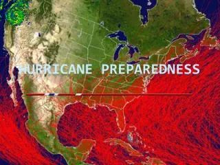
DOC NOAA Hurricane Preparedness
DOC NOAA Hurricane Preparedness. Agency Data Storm Data Resource Guide (www.csc.noaa.gov/storm_info/guide.html) NOAA’s National Hurricane Center (www.nhc.noaa.gov) NOAA’s National Weather Service (www.weather.gov) NOAA’s Emergency Response Imager (ngs.woc.noaa.gov/eri_page/)

DOC NOAA Hurricane Preparedness
E N D
Presentation Transcript
DOC NOAAHurricane Preparedness • Agency Data • Storm Data Resource Guide (www.csc.noaa.gov/storm_info/guide.html) • NOAA’s National Hurricane Center (www.nhc.noaa.gov) • NOAA’s National Weather Service (www.weather.gov) • NOAA’s Emergency Response Imager (ngs.woc.noaa.gov/eri_page/) • NOAA SLOSH Model (www.nhc.noaa.gov/HAW2/english/surge/slosh.shtml) • NOAA Watch - Tropical Weather (www.noaawatch.gov/themes/tropical.php) • NOAA Historical Hurricane Tracks (hurricane.csc.noaa.gov/hurricanes/viewer.html) • Hurricane Evacuation Studies and Storm Reports csc.noaa.gov/hes • NWS GIS Data Site (www.weather.gov/gis/) • Watch Warning Advisories • National Digital Forecast Database • NEXRAD Radar Imagery • AWIPS Map Database Catalog • Federal facilities and personnel duty stations • New NOAA Incident Coordination Center (ICC) GIS Program
Recent Activities/Agency Efforts • Activity related to hurricane preparedness • GOS Hurricanes Community • Coastal Storms Program - three pilot areas • www.csc.noaa.gov/csp • Storm Surge Partnership Project • www.csc.noaa.gov/sspp • FEMA mapping tutorial (briefing FEMA GIS Working Group and DHS GIS Working Group) • Needs or Gaps • Standard data formats and distribution mechanisms across federal agencies • Better communication between agencies