Download
1 / 2
20 likes | 182 Vues
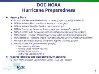
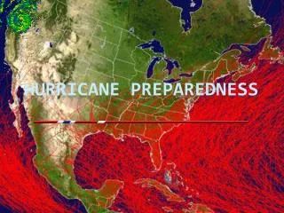
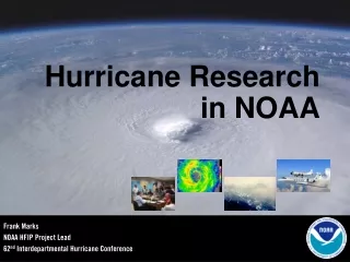
DOC NOAA Hurricane Preparedness. Agency Data NOAA’s National Hurricane Center (www.nhc.noaa.gov) NOAA’s National Weather Service ( www.weather.gov ) Storm Data Resource Guide (www.csc.noaa.gov/storm_info/guide.html) NOAA’s Emergency Response Imagery (ngs.woc.noaa.gov/eri_page/)

E N D
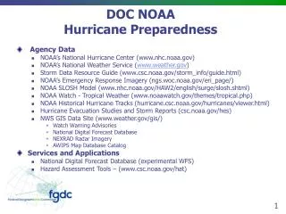
DOC NOAAHurricane Preparedness • Agency Data • NOAA’s National Hurricane Center (www.nhc.noaa.gov) • NOAA’s National Weather Service (www.weather.gov) • Storm Data Resource Guide (www.csc.noaa.gov/storm_info/guide.html) • NOAA’s Emergency Response Imagery (ngs.woc.noaa.gov/eri_page/) • NOAA SLOSH Model (www.nhc.noaa.gov/HAW2/english/surge/slosh.shtml) • NOAA Watch - Tropical Weather (www.noaawatch.gov/themes/tropical.php) • NOAA Historical Hurricane Tracks (hurricane.csc.noaa.gov/hurricanes/viewer.html) • Hurricane Evacuation Studies and Storm Reports (csc.noaa.gov/hes) • NWS GIS Data Site (www.weather.gov/gis/) • Watch Warning Advisories • National Digital Forecast Database • NEXRAD Radar Imagery • AWIPS Map Database Catalog • Services and Applications • National Digital Forecast Database (experimental WFS) • Hazard Assessment Tools – (www.csc.noaa.gov/hat)
Recent Activities/Agency Efforts • Activity related to hurricane preparedness • GOS Hurricanes Community – recently updated • FEMA mapping tutorial for NOAA data integration into GIS – recently updated • NOAA Incident Command Center • Internal IMS for NOAA assets • Coordinate with HSOC during hurricane season; NOAA desk at HSOC • Needs or Gaps • Standard methodologies for mapping storm surge • Enhance the public’s understanding of floodplain and surge maps • Integration of DFIRMS and storm surge • Gaps in vertical datum transformation coverage