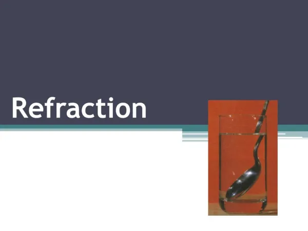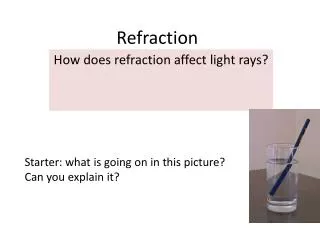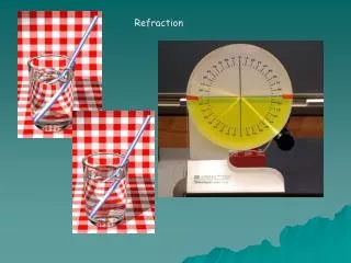
Signal Refraction
Satellite signals can be affected by atmospheric interference, similar to how light bends. When signals encounter uneven geography or air patterns, they may refract or bounce, leading to inaccuracies. The distribution of satellites in the sky also impacts accuracy; a high PDOP (Positional Dilution of Precision) indicates poor accuracy. Techniques like Differential Correction enhance GPS data accuracy by comparing information from a known base station with readings from roving receivers. Understanding latitude, longitude, and waypoints is essential for precise navigation.

Signal Refraction
E N D
Presentation Transcript
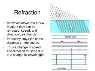
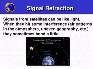
Signal Refraction Signals from satellites can be like light. When they hit some interference (air patterns in the atmosphere, uneven geography, etc.) they sometimes bend a little.
Signal Interference Sometimes the signals bounce off things before they hit the receivers.
Satellite Distribution When the satellites are all in the same part of the sky, readings will be less accurate.
PDOP PDOP = Positional Dilution of Precision All of this combines to make the signal less accurate, and gives it what we call a high “PDOP.” 11,000 miles 11,000 miles 11,000 miles 11,000 miles • A PDOP of <4 is excellent • A PDOP of 4-8 is good • A PDOP of >8 is poor
Differential Correction Differential correction is a technique that greatly increases the accuracy of the collected GPS data. It involves using a receiver at a known location - the "base station“- and comparing that data with GPS positions collected from unknown locations with "roving receivers." ISU Base Station - http://134.50.65.125/
Postprocessing / Real-time Before After
Latitude and Longitude Latitude and Longitude are spherical coordinates on the surface of the earth. Latitude is measured North or South of the Equator. Longitude is measured East or West of Greenwich. GPS uses Latitudes and Longitudes to reference locations.
Direction of waypoint Your location Waypoint Date and Time Latitude and Longitude Waypoints Waypoints are locations or landmarks that can be stored in your GPS. Waypoints may be defined and stored in the unit manually by inputting latitude and longitude from a map or other reference. Or more usually, waypoints may be entered directly by taking a reading with the unit at the location itself, giving it a name, and then saving the point.