Download

1 / 10
100 likes | 200 Vues
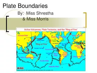
Explore seismic data from divergent, convergent, and transform plate boundaries in 6 key locations between 2000-2005, including Aleutians, Pacific Northwest, Urals, Hawaii, Mariana Islands, and Easter Island. Details on earthquake frequency, depth, and magnitude. Comparison of seismic activity in selected regions over the same period.

E N D
Plate Boundaries Divergent Convergent Transform
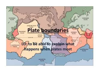
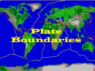
6 Locations, 2000-2005 X - #2 Aleutians X #4 Pacific Northwest X #1 Urals #5 Hawaii X #6 Mariana Islands X X #3 Easter Island
Site #1 - Ural Mountains • # of Quakes = 1 • Max Depth = 10 km • Max Mag = 3.5
Site #2 - Aleutian Islands • # of Quakes = 980 • Max Depth = 252 km • Max Mag = 6.5
Site #3 - Easter Island • # of Quakes = 182 • Max Depth = 11 km • Max Mag = 6.6
Site #4 - Pacific Northwest • # of Quakes = 900 • Max Depth = 66 km • Max Mag = 6.8
Site #5 - Hawaii • # of Quakes = 80 • Max Depth = 49 km • Max Mag = 5.4
Site #6 - Mariana Islands • # of Quakes = 1172 • Max Depth = 540 km • Max Mag = 7.3
Site N M D 1 3.5 10 980 6.5 252 182 6.6 11 900 6.8 66 80 5.4 49 6 1172 7.3 540 Comparisons, 2000-2005 #1 - Urals #2 - Aleutians #3 - Easter Island #4 - Pacific NW #5 - Hawaii #6 - Mariana Islands
Site #7 - New England • # of Quakes = 34 • Max Depth = 18 km • Max Mag = 5.2