Download
1 / 10
110 likes | 284 Vues
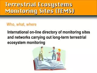
Terrestrial Ecosystems Monitoring Sites (TEMS). International on-line directory of monitoring sites and networks carrying out long-term terrestrial ecosystem monitoring. Who, what, where. Contents. Who: 2040 sites 1160 contacts 40 networks What: 120 measured variables

E N D
Terrestrial Ecosystems Monitoring Sites (TEMS) International on-line directory of monitoring sites and networks carrying out long-term terrestrial ecosystem monitoring Who, what, where
Contents • Who: • 2040 sites • 1160 contacts • 40 networks • What: 120 measured variables • Where: 130 countries Information
Land cover monitoring network • Majority of networks and sites concerned by land cover and more specifically: • FluxNet: Integrating Worldwide CO2 Flux Measurements • FAO-FRA: Forest Resources Assessment, a pan-tropical Remote sensing survey • ILTER: International Long-Term Ecological Research • GLCTS: Global Land Cover Test Sites
Existing and proposed in situ validation projects • Ongoing validation by BIGFOOT of MODIS GPP/NPP datasets • CEOS initiative for global land cover validation methodologies • GOFC-GOLD meeting for GLOBCOVER in situ validation • Ongoing international assessments such as FAO FRA, a pan-tropical Remote sensing survey
Terrestrial Ecosystems Monitoring Sites (TEMS) http://www.fao.org/gtos/tems/ gtos@fao.org Where’s TEMS?