Download
1 / 20
210 likes | 431 Vues
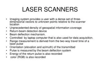
LASER SCANNERS. Imaging system provides a user with a dense set of three-dimensional vectors to unknown points relative to the scanner location Unprecedented density of geospatial information coverage Return-beam detection device Beam deflection mechanism.

E N D
LASER SCANNERS • Imaging system provides a user with a dense set of three-dimensional vectors to unknown points relative to the scanner location • Unprecedented density of geospatial information coverage • Return-beam detection device • Beam deflection mechanism. • Controlled by laptop computer that is also used for data acquisition. • Range measurement is derived from the two-way travel time of a laser pulse • Orientation (elevation and azimuth) of the transmitted • Pulse is measured by the beam deflection system • Energy of the return pulse is also recorded • color (RGB) is also recorded
LASER SCANNER ACCURACY • BOEHLER, Vincent and Marbs, 2003. • Tested scanners for accuracy • Application was for cultural heritage applications • Manufacturers specs not comparable
Angular accuracy • Angles from combination of deflection of rotating mirrors and rotation about a mechical axis • Provides with range position
Range accuracy • Time of flight or phase comparison between outgoing and returning signal • Noise-fuzz of points on a flat surface
Resolution • User—ability to detect an object in point cloud • Two specs contribute • Smallest increment of angle between successive points (can manually set) • Size of laser spot • Edge effects • When a spot hits and edge and gets 2 locations and or 2 materials
Surface reflectivity • Distance, atmospheric, incidence angle • ,albedo (ability to reflect) • White strong, black weak • Depends on spectra of the laser (green, red, near IR) • Shiny-poor reflector • Effects accuracy-range errors larger than specs
Environmental conditions • Temperature-check specs • Atmosphere- • changes propagation speed slightly • Dust, mist, fog-- a problem • Interfering radiation • Sunlight strong relative to signal • Influence or prevent (don’t shoot into sun)
Other considerations • Measuring speed • Range limits • Field of view • Laser class—eye safe? • Can register? • Can transform into coordinates? • Logistics-weight, batteries etc.