Lecture 7 Content
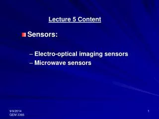
Lecture 7 Content. Photo / Map Projection Definition of common terms Errors on photo Mathematical relationship (Scale) Vertical photos. Photo / Map Projection. Definition of common terms. n. Plane I. p. o. ө. R. N. P. Plane II.

Lecture 7 Content
E N D
Presentation Transcript
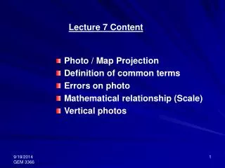
Lecture 7 Content Photo / Map Projection Definition of common terms Errors on photo Mathematical relationship (Scale) Vertical photos
Definition of common terms n Plane I p o ө R N P Plane II
“Plane I” represents the plane taken by the negative / photo which is called image plane • “Plane II” represents the plane taken by the terrain which is called object plane • the two planes intersect at a line called the horizontal trace • “o” is the optical center of the camera lens
“p” is the principal point on the image plane, defined as the foot of the perpendicular from “o” to “Plane I” • “o” is the optical center of the lens • “P” is the ground principal point • “n” is the nadir point, which is the photo plumb point • “N” is the ground plumb point from the nadir point • “pR” is the principal line, “po” is the Principal distance of focal length. “opR” are on the Principal Plane • “ө” is the angle of tilt
LEARN • Mathematical relationships from a vertical photo Scale: Photo f H Terrain 1/S = f/H where S = Scale Factor
Principal Point is the point where a perpendicular projected the center of the lens intersects the photo image • Nadir Point is the point vertically beneath the camera lens at the time of exposure • Isocenter is the point on the photo that falls on a line approximately halfway between the principal point and the nadir point • Isocenter and Nadir Points
Equations on the Principal Plane n Image plane i p Note: Isocenter (i) is the point in which the bisector of the angle between the plumb line and the principal axis meets the image plane. ө f o v H Object plane ө R I P N
Homework: Prove the following using the previous diagram • angle nop = ө and angle poi = angle ion = ө/2 • Distance from principal point to plumb point pn = po tan ө = f tan ө • Distance from principal point to isocenter pi = po tan ө/2 = f tan ө/2 • Distance from principal point to horizon pv = po cot ө = f cot ө • PN = No tan ө = H tan ө PI = PN – NI = H tan ө - H tan ө/2 = H (tan ө - tan ө/2)
Vertical photos • These are photos resulting if the axis of the camera is exactly vertical when exposure is made • Despite all precautions, small tilts, generally less than 1˚ and rarely greater than 3˚, are invariably present • Scale is determined by: • Ratio of a distance on a map to that same length on the ground, or • Ratio of the focal length to that of the flying height for a flat area or the average height of a hilly area
Using similar triangles: Lab and LAB • Using similar triangles: • Loa and LOA • Equating the two equations and recognizing that equals photo scale at A and B and recognizing that AB is infinitesimally • short then the equation for the scale at A is: • Similar equations are generated for points B, C, and D
An example: A vertical photograph was generated using a camera with a focal length of 6in at a flying height of 10,000ft. Above mean sea level. What is the photo scale at point ‘a’ if the elevation of point A on the ground is 2500ft above mean sea level Solution:
photo coordinates are xa, ya and xb, yb • ground coordinates are XA, YA and XB, YB • Using similar triangles: • LOAA΄ and Loa΄ • Then
Using similar triangles: • LA΄A and La΄a • Then
An example: A vertical photograph was taken with a 152.4mm focal length camera from a flying height of 1385m above datum. Images ‘a’ and ‘b’ of two ground points A and B appear on the photograph, and their measured photo coordinates are xa= -52.35mm, ya= -48.27mm, xb= 40.64mm, and yb= 43.88mm. Determine the horizontal length of line AB if the elevations of points A and B are 204m and 148m above datum, respectively Solution for point A: