Download
1 / 33
350 likes | 567 Vues
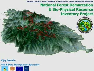
Banana Industry Trust/ Ministry of Agriculture, Lands, Forestry & Fisheries. National Forest Demarcation & Bio-Physical Resource Inventory Project. Vijay Datadin GIS & Data Management Specialist. Banana Industry Trust/ Ministry of Agriculture, Lands, Forestry & Fisheries.

E N D
Banana Industry Trust/ Ministry of Agriculture, Lands, Forestry & Fisheries National Forest Demarcation & Bio-Physical Resource Inventory Project Vijay Datadin GIS & Data Management Specialist
Banana Industry Trust/ Ministry of Agriculture, Lands, Forestry & Fisheries National Forest Demarcation & Bio-Physical Resource Inventory Project The Saint Lucia Forestry Department has embarked on a process … new forest sector management plan. Important in the management plan will be redefining the department’s mission to conform to an ecosystem approach to the management of forest resources.
Banana Industry Trust/ Ministry of Agriculture, Lands, Forestry & Fisheries National Forest Demarcation & Bio-Physical Resource Inventory Project Prerequisites to plan formulation and implementation are delineation of the forest resource, and determining the quantity and quality/ nature/ characteristics of the biophysical resources. To plan what to do where, you’ve got to know where is what.
National Forest Demarcation & Bio-Physical Resource Inventory Project Timber Inventory Botanical Survey Mammal Survey Herpetological Survey Insect Survey Bird Survey Land Survey Managed with GIS
GIS TOR Build GIS Produce Maps Link with Forest Management Information System (Inventory) Produce Maps
What is GIS? Geographic Information System Data-crunching power of a database Communication ability of a map Humans think spatially. GIS works spatially.
What is GIS? Since it is an Information System Hardware – PCs, GPS Software – ArcGIS; IDRISI, ERDAS, ILWIS Dedicated personnel – it is a speciality Institutionalised protocols/ procedures
What has the GIS been used for in this project? Planning fieldwork Rapid reporting and quality control Final reports Integration of surveys Integration of other data Analysis
Timber Inventory Fieldwork FMIS Spread- sheet GIS data Analytical Maps Done by SLFD
Planning Fieldwork for other Surveys
Mammal Survey
Mammal Survey
Bird Survey
Herpetological Survey
Herpetological Survey
Land (Boundary) Survey
LandSat 7 ETM+ Imagery integration in the GIS 30m resolution Suitable for Vegetation Analysis Tropical conditions Cloud cover High biodiversity
LandSat 7 ETM+ Classification with Botanical Survey data Vegetation Map of Saint Lucia
Management Plan Incorporate archival data with current surveys Produce verifiable metrics
Banana Industry Trust/ Ministry of Agriculture, Lands, Forestry & Fisheries National Forest Demarcation & Bio-Physical Resource Inventory Project Vijay Datadin GIS & Data Management Specialist vijay@caribbeangis.com