Download
1 / 24
240 likes | 398 Vues
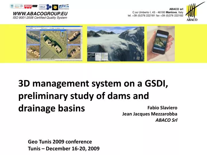
ABACO srl C.so Umberto I, 43 - 46100 Mantova , Italy tel. +39 (0)376 222181 fax +39 (0)376 222182. WWW.ABACOGROUP.EU ISO 9001:2008 Certified Quality System. 3D management system on a GSDI, preliminary study of dams and drainage basins. Fabio Slaviero Jean Jacques Mezzarobba ABACO Srl.

E N D
ABACO srl C.so Umberto I, 43 - 46100 Mantova, Italytel. +39 (0)376 222181 fax +39 (0)376 222182 WWW.ABACOGROUP.EUISO 9001:2008 Certified Quality System 3D management system on a GSDI, preliminary study of dams and drainage basins Fabio Slaviero Jean Jacques Mezzarobba ABACO Srl Geo Tunis 2009 conference Tunis – December 16-20, 2009
ABACO srl C.so Umberto I, 43 - 46100 Mantova, Italytel. +39 (0)376 222181 fax +39 (0)376 222182 WWW.ABACOGROUP.EUISO 9001:2008 Certified Quality System Abaco is active since 1990 in the R&D of edge technologies that can be now applied to GIS solutions. In addition to the usual GIS information, we have now solutions to take advantage of spatial data analysis, captured with different acquisition technologies.
3D on a SDI • A 3D model allows to view and analyse complex situations • Having 3D in a Spatial Data Infrastructure is not expensive, most of the existing information is re-used • Must have, possibly, a continuum on the territory
3D on a SDI • The 3D model must be accessible for customised calculation • It must be able to represent existing 2D information (images, landscape, seismic, soil types, etc.) • It must help doing preliminary analysis (before doing real projects) • It should allow to see the environmental impact of big instalments, like dams, levees, bridges, etc.
Dams, levees and basins • Projects require a multi-disciplinary team, even for the feasibility study and risk analysis • 3D GIS allows to pre-analyse a bigger number of suitable places • Immediate view of • Watershed delineation • Storage Capacity • Affected territory • Environmental Impact
From 2D to 3D • A 3D representation of land requires the existing GIS information plus a DEM: • Aerial or Satellite imagery • Digital Elevation Model • ….plus any other existing layers
DbMAP Flyer Pro • A 3D model browsing tool • An open architecture to accept analysis methods • Measuring tools, among which: • Dams • Water Basins
Dam analysis • Mathematically and computationally simple: • Lowest elevation of the barrier • Determines the set of points at a lower elevation • Similar to calculating a water source spilling • It’s enough to consider only the elevation (and not the function derivatives)
Drainage basin analysis • Mathematically and computationally complex: • Each cell is considered a water source • Water moves following “deflux” direction, when its path crosses the basin it becomes part of it • Typical model of rainfall • Calculating each path is computationally not applicable
Drainage basin analysis • We needed to find a better way: • Determining homogeneous sub-regions • Flow of each cell is followed until it reaches a cell already calculated, or until possible, starting from cells at higher elevation
Deflux direction • 8 surrounding cells • Flow to lesser elevation (Jenson and Domingue 1988) – simple and computationally cheap, but it is discrete • Flow following maximum slope (discrete gradient providing a direction) – complex, but representing the reality.
First step: Deflux Regions Usingmaximumslope (discrete derivative)
Second step: Merge Regions Pointswithlesserelevation in a region Flowingintoanotherregion
Second step: merge regions • Still fragmented, also due to depressions • Frequent problem in DEMs due to imperfections • Eliminating imperfections on DEM (Jenson and Domingue ’88, Martz and Garbrecht J ’98) introduces arbitrariness (especially on flat land) • Better to eliminate depressions using a flooding model (Martz and de Jong ’88)
Second step: Merge Regions Simplificationusingflooding
Conclusions An new tool to: • Build 3D models which are representing the reality, which can be easily queried; • Run analysis, re-using existing studies and enhancing them; • Computationally affordable; • Avoid spending money for detailed project studies, when a preliminary analysis is possible.
Thanks Q&A


![2009 ITRS Emerging Research Materials [ERM] December 16, 2009](https://cdn2.slideserve.com/3935557/2009-itrs-emerging-research-materials-erm-december-16-2009-dt.jpg)