Coastal Navigation - Markings
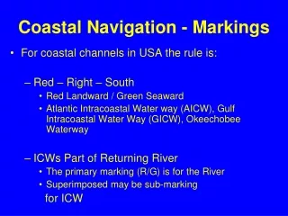
For coastal channels in USA the rule is: Red – Right – South Red Landward / Green Seaward Atlantic Intracoastal Water way (AICW), Gulf Intracoastal Water Way (GICW), Okeechobee Waterway ICWs Part of Returning River The primary marking (R/G) is for the River Superimposed may be sub-marking

Coastal Navigation - Markings
E N D
Presentation Transcript
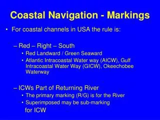
For coastal channels in USA the rule is: Red – Right – South Red Landward / Green Seaward Atlantic Intracoastal Water way (AICW), Gulf Intracoastal Water Way (GICW), Okeechobee Waterway ICWs Part of Returning River The primary marking (R/G) is for the River Superimposed may be sub-marking for ICW Coastal Navigation - Markings
Red – Right – Returning R R R >> 2
Marker on port side underway. Look closely for yellow triangle under bird’s nest Which way traveling on ICW, N or S? Traveling North on the ICW
Marker on port side underway. Which way traveling on ICW, N or S? Traveling South on the ICW
Buoy on port side underway. Which way traveling on ICW, N or S, upstream or downstream? Traveling downstream toward the Atlantic Ocean (south on the ICW)
ICW Channel OnlySouthbound • ICW – Landward • Red Triangle • Yellow Triangle – ICW Indicator • Always On Right (Landward) • ICW – Seaward • Green Square • Yellow Square – ICW Indicator • Always On Left (Seaward)
Downstream on RiverSouthbound on ICW • ICW – Right Side • Green Square – River Marking Returning • Yellow Triangle – ICW Indicator • On Right; Landward Side • ICW – Left Side • Red Triangle – River Marking • Yellow Square – ICW Indicator • On Left; Seaward Side
Upstream on River Northbound on ICW • ICW – Right Side, Seaward • Red Triangle – River Marking Returning • Yellow Square – ICW Indicator • ICW – Left Side, Landward • Green Square – River Marking • Yellow Triangle – ICW Indicator
Example of dual purpose channelSnows Cut and Cape Fear River • Heading South • On the Cape Fear the markers switch from ICW to River Markers • ICW – Red/Triangle on Westward Side or Right • River – Red/Square on Eastward side or Left • From water the visual is very confusing • Markers are every where • Seas are often high and its recommend to have a good GPS course through here
North Snows Cut and Cape Fear River
Summary • Presented were only a few of the complicated parts to North Carolina’s Aids to Navigation • Always study your chart before your journey • Understand which Aids of Navigation should be observed and why • Read Chart and mark off aids as you go • of the trip and highlight areas of concern • *** Be vigilant of ICW markings especially when leaving from or returning to port via a river