VEGETATION MAPPING
VEGETATION MAPPING. MAPPING OF FOREST CLEARANCE IN ‘EUA, TONGA. INTRODUCTION. Brief History Current Practice Database Setup GIS Setup Image Interpretation. BACKGROUND HISTORY. Training with LandCare on GIS Arc View LandCare mapped the clearings with High Precision GPS

VEGETATION MAPPING
E N D
Presentation Transcript
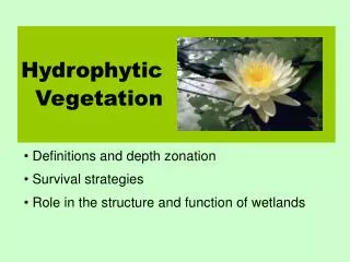
VEGETATION MAPPING MAPPING OF FOREST CLEARANCE IN ‘EUA, TONGA
INTRODUCTION • Brief History • Current Practice • Database Setup • GIS Setup • Image Interpretation
BACKGROUND HISTORY • Training with LandCare on GIS Arc View • LandCare mapped the clearings with High Precision GPS • Mapped Forest according to Compartments
WHAT WERE THE PROBLEMS? • No GPS equipments to digitally map the clearings and Forest Compartments after the LandCare left. • No back up copies available
WHAT WAS USED? • Tape Measure • Suunto Compass • Clinometer • Field Book
WHAT RECORDED IN THE FIELD BOOK • Stations / Points • Distance • Forward Bearings • Backward Bearings
HOW THIS WAS CONVERTED DIGITALLY? • Data from the field were entered into Spreadsheet, get the X and Y Coordinates of the starting point from the GIS ARCVIEW Map to calculate X and Y accumulation.
DATA PROCESSING • Highlight only X & Y Coordinates column and save as dbf file
GIS ARCVIEW • Open ARCVIEW File, Go to View and click on New Theme, Points • The Points appear on the map, joint the points and convert to Shapefile
GIS/GPS TRAINING • MapInfo • Hand held Garmin
How the Hand held Garmin was used? • Clearings inside the ‘Eua Forest Plantation were marked with GPS
Steps of Data Processing • Data transfer from GPS to Computer • Data is cleaned up, saved and then go to MapInfo professional and import file
SATTLELLITE INTERPRETATION • ‘Eua 2005 Image
DIGITIZED CLEARINGS • Forest Clearings outside the ‘Eua Forest Plantation were also digitized but only on Woodland, Broadleaved and Conifer Forest Plantation
Difference between the interpretation and field check • less clearing on the image • More clearings on the ground
Reasons for differences between interpretation and field check • Image that was used is ‘Eua 2005 Image • Between 2005 and 2010 new clearings took place
Clearance 2010 • ‘Eua: 87 sqkm • Clearance: 114.54 Ha (1990- 2010 • ‘Eua Forest Plantation: 714 Ha
THANK YOU! MALO ‘AUPITO