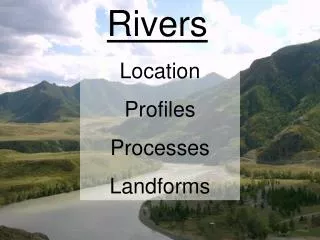
Rivers
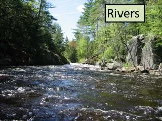
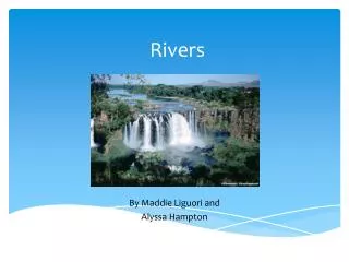
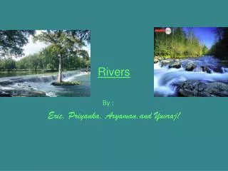
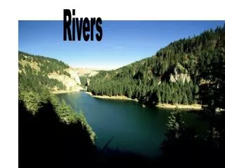
Rivers. Rivers. Almost half of the water that falls to the Earth’s surface eventually ends up in a stream or river ( runoff ), where it travels overland to the oceans. Streams and Rivers are an essential part in the water cycle and account for most of the erosion of Earth’s surface . Rivers.

Rivers
E N D
Presentation Transcript
Rivers • Almost half of the water that falls to the Earth’s surface eventually ends up in a stream or river (runoff), where it travels overland to the oceans. Streams and Rivers are an essential part in the water cycle and account for most of the erosion of Earth’s surface.
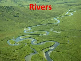
Rivers • A tributary is a stream that runs into a larger stream. The main river will eventually drain into the ocean. A river and all of its tributaries is called a river system.
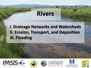
The drainage basin, or watershed, of a river includes all the land that drains into the river directly or through its tributaries.
Every drop of water (or pollution!) that falls into the watershed goes into that river
Watershed The high land that separates one drainage basin from another is called a divide.
The major divide in the U.S. is called the Continental Divide. To the Pacific To the Atlantic
The beginning of a river is known as the SOURCE. Precipitation or Freshwater Spring
River Delta When the mouth of a river finally reaches its destination, be it ocean or lake, the water slows down & deposits its sediment, forming a delta.
Safid River Delta, Rasht, Iran See the sediments going into the ocean!
Sediments from the Mississippi come from everywhere between the Appalachian & Rocky Mtn chains. Eventually they may fill the Gulf of Mexico! Mississippi River Delta
An Alluvial Fan is similar to a delta, but forms on land where a river emerges from a mountainous area and flows out onto a more gently sloping plain.
Source River Valley Parts of a River System Tributary Oxbow Lake Meander Floodplain Delta
River Development The three stages in the development of a river are described as youthful, mature, and old. Youthful Mature Old
Most rivers begin in the highlands or mountains. There water sources such as melting snow and ice feed fast-moving young rivers.
As the young rivers feed into larger rivers over flatter land they may take on characteristics of mature rivers.
As the river approaches the ocean it slows down and becomes wider & flatter taking on the characteristics of an old river.
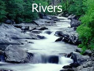
From Valley to Floodplain • 1. A youthful river has a steep slope, fast-moving water, V-shaped valleys, and many rapids and waterfalls • Rapids & Waterfalls- caused by steep slopes and differential erosion.
From Valley to Floodplain Flooding speeds up erosion and deposition creating a broader floodplain on the valley floor.
From Valley to Floodplain 2. A mature river has a shallower slope, is slow moving, and winds back and forth in broad curves called meanders.
From Valley to Floodplain 3. An old river moves very slowly, has a nearly flat slope and oxbow lakes. Elevated ridges along stream banks are called natural levees.
Difficult Run DIFFICULT RUN
Meander Oxbow Lake A river wants to find the shortest, straightest way to the ocean, so it will change paths along the floodplain cutting off wide loops leaving behind a curved body of water called an oxbow lake.
Rivers may overflow its banks as a flood. The floodwater may cover part or the entire valley floor where the river runs eroding and depositing sediments.
Coarse-Grained Sediments- Deposited by fast-moving water
Fine-Grained Sediments- Deposited byslow-moving or standing water