Uncertainty in Base Flood Elevation
This study examines the sampling variation of extreme water surface elevations in arid environments, focusing on the Colorado River in Marble Canyon. Utilizing statistical methods from HEC's software and Bulletin 17B analysis, we determine that sampling error remains independent of topography, drainage area, or landscape type. Future work involves computing standard error for 100-year flood events and plotting results against drainage areas of various gaging stations. This research aims to enhance the accuracy of flood mapping and provide critical insights for water resource management.

Uncertainty in Base Flood Elevation
E N D
Presentation Transcript
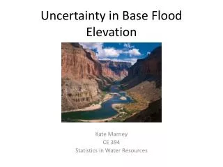
Uncertainty in Base Flood Elevation Kate Marney CE 394 Statistics in Water Resources
Introduction • HEC Statistical Software Package • Bulletin 17B analysis • National Academies Study Conclusion: • Sampling error does not vary with topography, drainage area, or landscape type Average
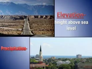
Objective Gain insight into the sampling variation of extreme water surface elevations in an arid environment. Colorado River in Marble Canyon (Source: Britannica Online)
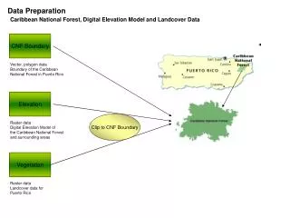
Identifying Gaging Stations HydroExcel
Future Work • Compute standard error for 100 year event • Plot standard error against drainage area for each gaging station
Questions? • Sources: • Mapping the Zone: Improving Flood Map Accuracy (http://www.nap.edu/catalog.php?record_id=12573) • USGS NWIS Website • Bulletin 17B Salt River in Arizona (Source: greglibby.com)