Download
1 / 11
110 likes | 291 Vues
Virtual Trip 5 time zones away. January, 2011 K. Snyder Norwood Public School. 1. Leave from Norwood. What is the latitude and longitude of Norwood? We will travel by car to Newark, NJ . We will fly out of Liberty International Airport. Find its airport code by visiting this hyperlink.

E N D
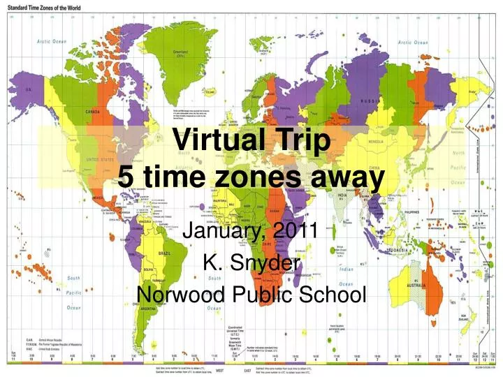
Virtual Trip5 time zones away January, 2011 K. Snyder Norwood Public School
1. Leave from Norwood • What is the latitude and longitude of Norwood? • We will travel by car to Newark, NJ. • We will fly out of Liberty International Airport. • Find its airport code by visiting this hyperlink.
2: Travel by car to Newark Liberty • Look at the map to the right. • Which direction will you travel to go from Norwood, NJ to Newark, NJ? • What is the distance between Norwood and Newark?
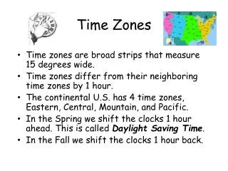
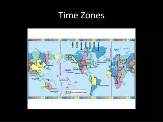
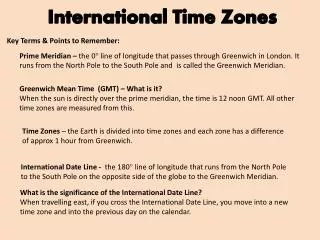
3. Time Zone • What time zone is Newark, NJ in? • Look at world regions beyond the United States. • Locate one that is 5 time zones away. • For example, Tokyo, Japan, write this city next to a in question 4.
4. Find flights • Everyone will leave on February 19 and return on February 26, 2011. • You will need to know the airport codes. Newark is EWR, and Tokyo Narita is NRT. • We will use http://www.expedia.com to find our flights. Select a departure (you decide if you want a non-stop or a direct flight.) • Write down the chosen flight information: give the airline name, date & time of departure, time of arrival, and travel time.
5: city, latitude, longitude, & time • Tokyo is the capital of Japan and there is an airport there. In our example. NRT is Narita airport. Find its latitude and longitude. • Estimate its latitude and longitude on your map. • Then, compare your calculation with the exact data foundhere. • What time is it in Tokyo, right now? (Remember Tokyo was the example used in class.) What about in Newark?
Next steps • Once you have selected your destination city, and “booked” your flights, you need to find a hotel to stay in. • Visit http://www.bing.com • Type the key words: hotel in Tokyo (for example) • Select a hotel that fits within your budget. • Print pictures of your hotel, and find its address. • Search for restaurants, & activities. • Keep track of your expenses and stay within your limit.
References • http://www.travel.com.hk/region/time_95.jpg • http://www.som.com/resources/category/5/0/3/9/0/4/images/001_21580558.jpg • http://www.world-airport-codes.com/ • http://www.bing.com/maps/default.aspx?encType=1&where1=Newark%2c+New+Jersey&FORM=MLOMAP&qpvt=newark+map&PUBL=BINGYAHOO&CREA=userid1743byoob89d3a2ae6051acb9004494c4bbf7aa1f • http://www.worldtimezone.com/ • http://www.expedia.com • http://www.findlatitudeandlongitude.com/ • http://www.timeanddate.com/worldclock/ • http://www.bing.com