Analyzing Landscape Scale with Airborne Laser Swath Mapping Data: Insights from Gabilan Mesa
This study explores the periodicity of landscapes at multiple scales using Airborne Laser Swath Mapping (ALSM) data. Focusing on areas like Gabilan Mesa in California, we apply 2D spectral analysis to identify topographic features and assess model testing reliability. By implementing normalization techniques and significance level testing, we successfully extract meaningful landscape characteristics, aiding in understanding landscape dissection limits and enhancing storage of large topographic datasets. This research ultimately contributes valuable methods for quantifying landscape features.

Analyzing Landscape Scale with Airborne Laser Swath Mapping Data: Insights from Gabilan Mesa
E N D
Presentation Transcript
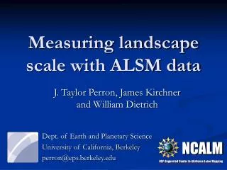
Dept. of Earth and Planetary Science University of California, Berkeley perron@eps.berkeley.edu Measuring landscape scale with ALSM data J. Taylor Perron, James Kirchner and William Dietrich NCALM NSF-Supported Center for Airborne Laser Mapping
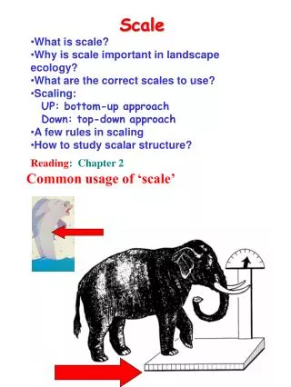
Problem • Landscapes are often strongly periodic at multiple scales • Explaining this phenomenon requires that we quantify it 200m Gabilan Mesa, Salinas Valley, CA Zabriskie Point, Death Valley 5m
Applications (Why measure scale?) • Extract features of interest • Model testing ?
2-D Fourier transforms PSD (m4) Frequency (1/m)
~175m ~500m 4 km 2 km ALSM data: Gabilan Mesa, CA Acquired & processed in collaboration with NCALM staff at U. Florida
~500m ~175m Collapsed power spectrum
Landscape is smooth Collapsed power spectrum
99% Significance Level Testing significance
99% Significance Level Testing significance
Wavelength: 174 ± 13 m Orientation: 47° Significance level: 99.7% Wavelength: 480 ± 166 m Orientation: 141° Significance level: >> 99% Normalizing 2D spectra
Local Relief Application: Filtering by scale
Wavelength: 200 ± 11 m Orientation: 171° Significance level: 91% Wavelength: 480 ± 30 m Orientation: 90° Significance level: >> 99% Application 2: Model testing
Conclusions • 2D spectral analysis is an objective means of identifying & analyzing periodic topographic features • ALSM provides spectral resolution & accuracy necessary to identify limit of landscape dissection
Conclusions Applications: • Model testing • Filtering by scale, orientation, periodicity • Storage of large topographic datasets 100% of spectrum 7% of spectrum