Download

1 / 14
140 likes | 206 Vues
Learn about measuring landscape features like mountains and valleys, and understand the distinctive shapes they form. Explore gradients, profiles, mountains, plateaus, plains, and the effects of climate on landscape development.

E N D
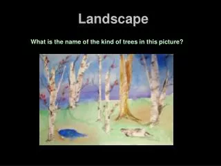
Features such as mountains, valleys, and stream drainage patterns have distinctive shapes by which they can be identified
Gradient and Profile • Gradient = elevation (height)/distance (length) • Profile: shows the elevation, shape and slope of landscape features
Mountains, Plateaus and Plains • Mountains, plateaus and plains are categories of landscapes characterized by gradient, elevation and rock structure
Summary: • Mountain: High elevation, steep gradient, distorted or disturbed rock layers (faulting, folding, etc)
b. Plateau: High elevation, undistorted horizontal rock structure, fairly level slope
c. Plain: low elevation and level surface with little change in slope
Time and Landscape Stages • An area often experiences a time when the uplifting forces are dominant, followed by a long time when the leveling forces are dominant • Youth: Uplift dominant • Maturity: Leveling dominant
b. Old Age” Leveling still dominant but less effective due to low elevations = less potential energy c. Dynamic equilibrium: uplift and leveling are equal forces
Effects of Climate on Landscape Development • Arid climates: little vegetation to hold sediments in place, resulting in steeper slopes and sharp, angular landscape features (physical/mechanical weathering). Common in SW US
Humid climates: Vegetation holds sediments in place, so landscapes are smoother and more rounded (chemical weathering). Common in eastern US
Landscape features of glaciations: • Mountaintops and steep slopes without soil • Transported soil over large areas • Unsorted soil at and below the surface
d. Wide U-shape valleys e. Polish, striations, drumlins, moraines, Finger lakes and kettle lakes f. Disconnected stream drainage patterns