Download
1 / 35
350 likes | 369 Vues
Learn about the definition of earthquakes, their causes, and the effects they have on the Earth's surface. Explore seismic waves, measuring techniques, and the distribution of earthquakes worldwide.

E N D
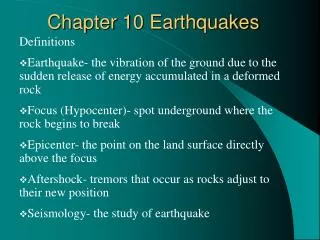
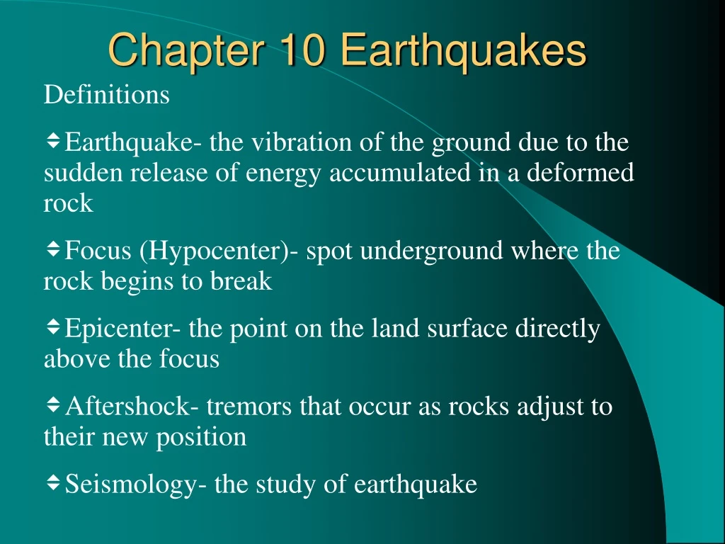
Chapter 10 Earthquakes Definitions • Earthquake- the vibration of the ground due to the sudden release of energy accumulated in a deformed rock • Focus (Hypocenter)- spot underground where the rock begins to break • Epicenter- the point on the land surface directly above the focus • Aftershock- tremors that occur as rocks adjust to their new position • Seismology- the study of earthquake
Causes of Earthquakes • Sudden release of accumulated strain energy – at shallow depths, stressed rocks accumulate strain energy • Creation of new faults by rupturing rocks • Shifting of rocks at preexisting faults • Sporadic recurrence of Earthquakes: Accumulation of Energy ---- Sudden release ------ Rocks lock back in place
Seismic Waves (Earthquake’s energy is transmitted through the earth as seismic waves) • Two types of seismic waves • Body waves- transmit energy through earth’s interior • Primary (P) wave- rocks vibrate parallel to direction of wave • Compression and expansion (slinky example) • Secondary (S) wave- rocks move perpendicular to wave direction • Rock shearing (rope-like or ‘wave’ in a stadium) • Surface waves-transmit energy along earth’s surface • Rock moves from side to side like snake • Rolling pattern like ocean wave
Measuring of Earthquakes • Seismograph- device that measures the magnitude of earthquake • Seismogram is visual record of arrival time and magnitude of shaking associated with seismic wave • Mercalli Intensity scale • Measured by the amount of damage caused in human terms- I (low) to XII (high); drawback: inefficient in uninhabited area • Richter Scale- (logarithmic scale) • Magnitude- based on amplitude of the waves • Earthquake total energy- uses moment magnitude scale
Measuring Earthquake-contd. • Richter Scale • Amplitude scale is logarithmic (10-fold increase for every whole number increase) • Scale 1 ---- 0.001 mm; 2---- 0.01 mm; 5---- 10mm; 7---- 1 meter • Earthquake Energy: Each whole number represents a 33-fold increase in Energy; Energy difference between 3 & 6 means ~1000 times • Drawbacks: • California Rocks • Based on Antiquated Wood-Anderson Seismographs • Measurment Past Magnitude 7.0 ineffective – Requires Estimates (Scale 8 corresponds to 10m)
Measuring Earthquake-contd. • Moment-Magnitude Scale • Seismic Moment Factors • Length of Fault Rupture • Depth of Fault Rupture • Amount of Slip along Rupture • Moment = (Total Length of Fault Rupture) X (Depth of Fault Rupture x Total amount of Slip along Rupture x Strength of Rock) • Measurement Analysis requires Time
Locating Epicenter and Focus Depth (EQ Classfication) • Use Arrival time at a recording station (time lag between P & S waves) to locate the epicenter of an earth quake • Need three stations to determine the epicenter • Depth of Focus • Shallow focus EQ < 70 km (45 mi) most earthquakes • Intermediate focus EQ- 70-300 km (45- 180 mi) • Deep focus EQ- > 300 km (> 180 mi)
Frequency vs Depths • 90% of Earthquakes occur within depths less than 100 km • Majority of Catastrophic Earthquakes occur within Depths less than 60-km Deep • 1964 Alaska EQ ---- 33 km from surface • 1995 Kobe, Japan--- 20 km from surface Magnitude vs Depth: a) Shallow: Up to 9.5 RM (Moment-Magnitude Scale) b) Intermediate: Up to 7.5 RM c) Deep: Up to 6.9 RM
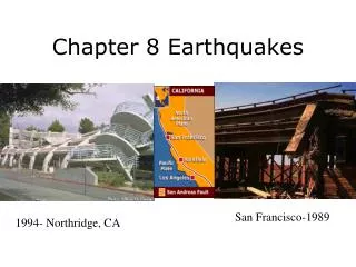
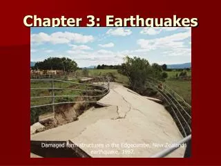
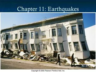
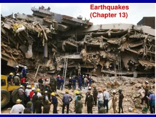
Effects of Earthquakes • Ground Displacement • Lateral and vertical (In 30-Myr, Rocks & Landforms on the West Side have shifted ~560-km toward Northwest); Vertical Displacement occur during movement along Dip-slip Faults • -Landslides • Liquefaction • Conversion of formally stable fine grain materials to a fluid mass • Seiches • The back and forth movement in a semi-closed/closed body of water- could cause flooding- Alaskan EQ in 1964 – 6000 km away felt in TX Swimming pools • Tsunamis- • More from submarine landslide (Large fast-moving sea waves); Sea-floor displacement during faulting and submarine slides • Fire (Tokyo 1923; San Francisco, 1906)
Principal Earthquake zones • Earthquake zones at Plate Boundaries • Shallow Earthquakes occur at • Oceanic Divergent zones, continental rift and collision zones, and transform boundaries • Subduction-zone earthquake regions are called Benioff-Wadati zones • In subduction zones: Depth of earthquakes correspond to depth of portions of descending slab; up to 300-km deep: strong earthquakes; 300-700 km: weaker earthquakes; >700 km: earthquakes are rare • Magnitude of EQ ~80% of EQ Energy released in Pacific Rim Region; ~20% of world’s EQ energy released in collision Zone from Turkey to Burma
Specific Areas • Japan: Subduction of Pacific Plate beneath Eurasian Plate; Quakes occur in Tokyo every 69 yrs; 15% of world seismic energy released • Alaska: Pacific Plate subducts beneath North American and Eurasian Plates • Mid-plate Eqs are shallow, weak
Coping with Earthquakes • Earthquake zone-identification • Plate boundaries • Assessing local seismic history and future risks • Land use planning-situating critical facilities • Quake reinforcement of building/structures: wood, steel, reinforced concrete are preferable (heavy masonry, unreinforced concrete, etc are not good) • Short term and Long term forecast • Contingency plan
Earthquake Prediction • Successful Prediction in 1975 in China, but no prediction in 1976 • Reduction of Energy build up along segments of individual faults – Plans to lubricate San Andreas Fault • Increase in Radon concentration as a precursor (and other noble gases, solubilites of these gases) • Animal Behavior??