Download
1 / 14
220 likes | 3.42k Vues
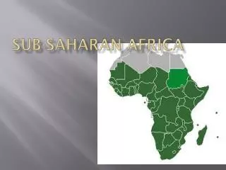
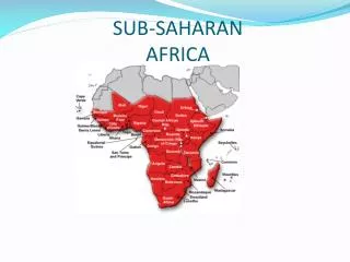
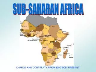
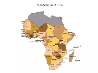
SUB SAHARAN AFRICA GEOGRAPHY REVIEW. Physical Geography of Sub-Sahara Africa. Sub-Sahara refers to Africa SOUTH of the Sahara desert. Extremely diverse landscape. 2nd largest continent has huge plateaus, mountains, and valleys south of the Sahara. Africa’s Size. 4 6 0 0 M I L E S.

E N D
Physical Geography of Sub-Sahara Africa • Sub-Sahara refers to Africa SOUTH of the Sahara desert. • Extremely diverse landscape. • 2nd largest continent has huge plateaus, mountains, and valleys south of the Sahara.
Africa’s Size 4 6 0 0 M I L E S 5000 MILES • Second largest continent 11,700,000 sq. mi. • 10% of the world’s population. • 2 ½ times the size of the U. S.
Continent of Plateaus • “One big Plateau” • Plateau after plateau & in between there are escarpments. • Escarpments- steep cliffs or slopes (like the side of a valley)
Mountains • Atlas mts. in Northwest. • Most mts. east side. • Volcanoes= Mount Kenya, Mount Kilimanjaro, Africa’s highest peak (19,340 feet)
Great Rift Valley (GRV) • Stretches through most of East Africa • Occurred when Pangaea ripped apart creating mountains.
Water Systems • Largest lakes are in the Great Rift Valley. • Due to high escarpments, rapids and waterfalls are common.
Lakes • Lake Victoria, 2nd largest freshwater lake in the world, source of Nile.
Rivers • 4 great rivers slice through Africa: • Nile River • Congo River (largest river basin in Africa) • Niger River • Zambezi (plunges down a huge escarpment known as Victoria Falls, which is twice the size of Niagara falls)
Natural Resources • Diamonds form the Congo. • Gold from South Africa & GRV. • Nigeria 3% of world’s oil.
Deserts • Deserts cover a larger percentage of Africa than any other continent. • Sahara covers north.
The Sahel Looking south • Sahel means “border.” • Lies between the deserts and Rain Forrest in Central Africa. • Includes the “Horn” of Africa • “Desertification” happening in the Sahel. Sahara taking over. Looking north
On a separate sheet of paper • Page 199 in Africa, Asia and Australia Textbook (brown book) • Numbers 1, 3, 4 and 5