Download
1 / 15
150 likes | 319 Vues
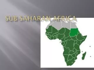
1. How have the rifts in the Great Rift Valley been formed? 2. Africa is ____ times the size of the __________. About ____ million years ago, Africa was the center of the Earth’s only continent, called __________. GEOGRAPHY OF SUB-SAHARAN AFRICA. Africa. 53 countries 900 million people

E N D
1. How have the rifts in the Great Rift Valley been formed?2. Africa is ____ times the size of the __________. About ____ million years ago, Africa was the center of the Earth’s only continent, called __________.
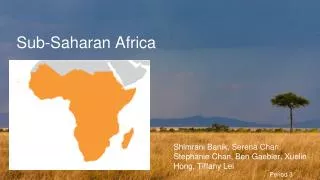
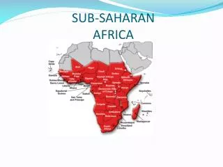
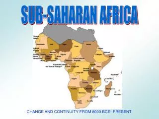
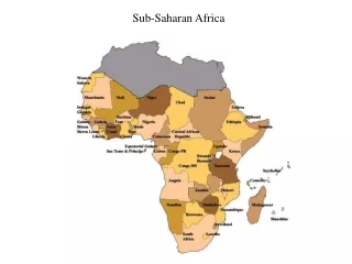
Africa • 53 countries • 900 million people • 2nd largest continent • Madagascar, West Africa, East and Equatorial Africa, and Southern Africa
Desert • Less than 10’ – 20’ of rain a year • 3 Deserts in Africa: • Sahara • Kalahari • Namib
A Vast Plateau • Most of Africa is made up of lowlands, found along the coastal areas, riverbanks, and plateaus • High areas: Mt. Kilimanjaro and Mt. Kenya – inactive volcanoes • Low lands (basins): Congo Basin
Congo Basin • “Heart of Africa” • Bowl-shaped dip in the land • Dense rain forests • Swamps • Winding rivers
Great Rift Valley • North-south cracks in the land; narrow valley with steep sides • These often form escarpments • Cliff = hill escarpment =mountain • 4500 miles from Syria in the Middle East to Mozambique • Lakes in between these • Formed because Africa is pulling apart (Pangaea)
Rivers and Escarpments • Most of Africans live along the four major rivers • Nile • Zaire • Zambezi • Niger • Rivers flow from vast plateau and drop over escarpments – dangerous and make few rivers navigable • Why would it be difficult to transport goods across some African rivers?
sahel Sahel, Savanna, and Rain Forest • South of Sahara are dry lands called Sahel. Arabic for “border” or “shore” – could turn into a desert • Two zones south of Sahel are rain forest and savanna • Savanna is a broad grassland with scattered trees. Major farming area shared with wild animals of Africa. • Rainforests have rain almost everyday, temperatures stay high, and it is located mainly in West Africa – Congo Basin
Landlocked Nations • No access to seas or oceans • Surrounded on all sides by borders of other nations • Why would this cause problems? • Name some landlocked countries in Africa.