Download
1 / 33
500 likes | 1.24k Vues
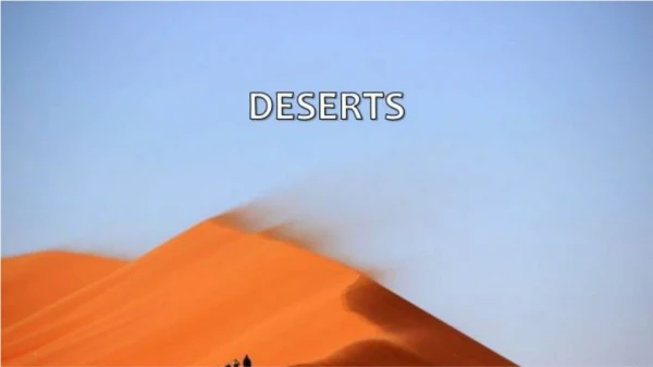
Hot Arid and Semi-arid Environments. CLASSIFICATION AND DISTRIBUTION OF HOT ARID AND SEMI ARID ZONES. Definitions. Simple one What is a desert (arid area)? <250mm precipitation per year (Semi arid area = 250 – 500 mm per year) More advanced……. WHAT IS ARIDITY?.

E N D
Hot Arid and Semi-arid Environments CLASSIFICATION AND DISTRIBUTION OF HOT ARID AND SEMI ARID ZONES
Definitions Simple one What is a desert (arid area)? • <250mm precipitation per year (Semi arid area = 250 – 500 mm per year) More advanced……
WHAT IS ARIDITY? Ratio of average precipitation (P) to potential evapotranspiration (PET*) = aridity index Arid areas: <0.20 Semi-arid areas 0.20 -0.50 Koppen's classification *See page 134 for def of pet
Semi-arid Arid
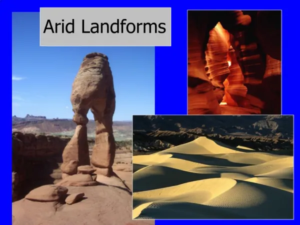
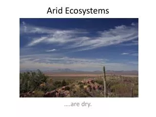
Types of arid environments • See page 134 for characteristics • Where are they?
Hot Arid Areas • BWh – hot deserts (annual mean > 18°C) e.g Sahara Hot dry with winter dry season
Bwn - hot deserts with Coastal fogs • E.g. Atacama Chile
Semi arid areas • BShw – Semi arid between Equator and hot deserts (rain in summer) e.g. sub Sahara • BShs – semi-arid pole-wards of hot deserts (rain in winter) e.g. Iraq
SW USA Sahara and Middle East Atacama Australia Kalahari Not studied for A level Five main areas of Hot arid regions Each with various sub-divisions LEARN
General locational points • Latitude : 20° – 35° N and S of equator • West coast of Continents • Offshore cold ocean currents
Climate Temperatures • Complete Activity page 136 based on Alice Springs fig 4.2 Other points to note • High Diurnal range • Why?
Very high temperatures due to • Low latitudes – high incidence of angle of sun’s rays • Little cloud cover to reflect absorb or scatter solar radiation
Variations caused by Local conditions such as • Latitude • Altitude • Distance from the sea • Presence of cold offshore ocean currents • Albedo of surface
Precipitation Defining factor of areas BUT • High inter-annual variability 50% - 100% • E.g. Death Valley 1887-1994 average 98mm: Range 54mm to 171mm
Why are these areas so DRY? • Global circulation (i.e. their latitudinal position in relation to it)
This sinking air is warming as it descends due to compression, making the atmosphere cloud free – causing a permanent high pressure air (sub-tropical high) and little likelihood of rain
On or near the equator, where average solar radiation is greatest, air is warmed at the surface and rises. This creates a band of low air pressure, centered on the equator known as the intertropical convergence zone (ITCZ). • The Intertropical Convergence Zone draws in surface air from the subtropics. When this subtropical air reaches the equator, it rises into the upper atmosphere because of convergence and convection. It attains a maximum vertical altitude of about 14 kilometers (top of the troposphere), and then begins flowing horizontally to the North and South Poles. • This rising air comprises one segment of a circulation pattern called the Hadley Cell (see diagram below). The Hadley cell eventually returns air to the surface of the earth, near 30 deg N and S. - I.e where the world ‘s arid regions are
The convection cell is completed by the winds which return to the equator at ground level called the trade winds
Offshore winds Trade winds Hadley cells
2. Prevailing winds • Offshore winds carry very little moisture e.g. Ne Trades blowing over North Africa
3. Topography • Mountain ranges block moisture laden air from entering some regions (rain shadow effect) e. g. Mojave desert in California by coastal ranges
4. Continentality • Distance from the sea • Some areas are remote from rainbearing winds
5. Cold offshore ocean currents • Cold ocean currents can cause local winds to blow onshore bringing cold air with them • This displaces warmer air which rises causing a temperature inversion • Convection is unable to take place and therefore rain unlikely • However…..
FOG • This can cause fog which covers the land below the cool air • Very important in Atacama and Namib deserts where plants and animals rely on it for their survival
Seasonal rain • Found in Semi-arid areas • Due to the seasonal shift of the global wind belts with apparent migration of the sun • In Semi arid areas on the equator side of hot deserts it occurs as summer rain – convectional –least effective for plant growth • On pole ward edges it occurs as winter rain due to depressions migrating from polar front • Activity page 139