Mapping Resources for Management Planning
Mapping Resources for Management Planning. On-line GIS “Plat” maps Topographic maps Aerial photos Soil maps. Get “plat” maps from. Clackamas County GIS http://www.ckackamas .us/gis Click on the CMap link.
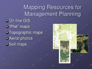

Mapping Resources for Management Planning
E N D
Presentation Transcript
Mapping Resources for Management Planning • On-line GIS • “Plat” maps • Topographic maps • Aerial photos • Soil maps
Get “plat” maps from... Clackamas County GIS http://www.ckackamas.us/gis Click on the CMap link. Can print out maps, photos, topographic features, property boundaries, in any scale The Oregon Map http://www.ormap.com State of Oregon GIS: http://www.gis.state.or.us
N Topography “Topo” Map Property boundaries overlaid from plat map Stevenson Property
Get topo maps from... LocatOR at Oregon Department of Forestry: http://oregon.gov/ODF/index.shtml Click on GIS on left index bar, then click on LocatOR link US Geological Service: http://www.usgs.gov/ Bureau of Land Managementhttp://www.or.blm.gov/recreation.htm Free Website: Mytopo.com REI, Cabellas, etc.
Aerial Photos N Probable Harvest Unit Nest site New roads
3-D Aerial View Using Google Map Road construction Nest site
County Planning or GIS Websites LocatOR Website: Through ODF website Google Map or Google Earth ForestASyst Website Bureau of Land Management Check your neighbors, if Industry Stereo Pairs Get aerial photos from...