Remote Sensing What can we do with it?
Remote Sensing What can we do with it?. The early years. Yellowstone Fires 1988, Recorded 7/2001. How it works. Incoming solar energy. Reflecting surfaces Scatter, absorb, and reflect light. Electromagnetic Energy and surface reflectance. Spectral Reflectance.
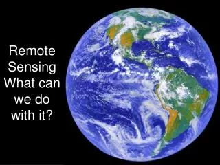

Remote Sensing What can we do with it?
E N D
Presentation Transcript
How it works Incoming solar energy Reflecting surfaces Scatter, absorb, and reflect light
Progression of common satellitesMSS spatial scale 20m, TM 30m
Satellite Sensors SatelliteSpatial ResolutionSpectral Resolution QuickBird 1-4meters .45-.90µm Ikonos1&2 1-4meters .45-.90µm SPOT HR-XS 10-20meters .51-1.75µm LANDSAT TM 7 (1) 15m .45-.515µm (2,3,4,5,7) 30m .525–2.35µm (6) 60m 2.09-2.35µm AVRIS 20m 224 bands
Keweenaw Peninsula, bands 2, 3 and 4 provide a color composite
AVRIS Hyperspectral Cube Airborne Visible/Infrared Imaging Spectrometer 224 spectral channels 400 – 2500 nm spectral resolution, 20 meter ground resolution. Brine Shrimp pond
LidarLight Detection and Ranging Visible portion of spectrum Excellent opportunities for vertical dimensions not for horizontal Data from Lefsky et al