Download
1 / 30
300 likes | 745 Vues
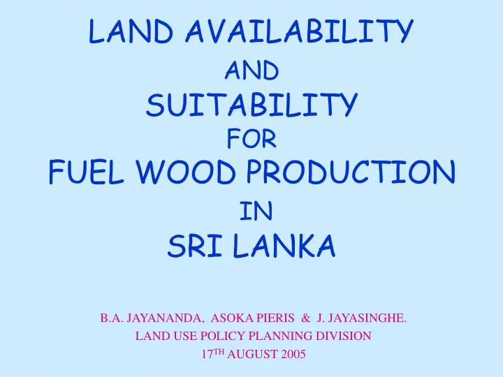
LAND AVAILABILITY AND SUITABILITY FOR FUEL WOOD PRODUCTION IN SRI LANKA. B.A. JAYANANDA, ASOKA PIERIS & J. JAYASINGHE. LAND USE POLICY PLANNING DIVISION 17 TH AUGUST 2005. LAND OWNERSHIP. Total Land Extent of the Country = 6,570,134 (Ha.)

E N D
LAND AVAILABILITY ANDSUITABILITY FOR FUEL WOOD PRODUCTIONIN SRI LANKA B.A. JAYANANDA, ASOKA PIERIS & J. JAYASINGHE. LAND USE POLICY PLANNING DIVISION 17TH AUGUST 2005
LAND OWNERSHIP • Total Land Extent of the Country = 6,570,134 (Ha.) • Land Owned by the state =5,403,899 Ha. (82.3%) • Land Owned by the Private Sector =1,166,235 Ha.(17.7%)
SRI LANKA • Location 5.51 – 9.51 N (Lat) 79.4 - 81.51 (Long) • Total Area 65610Km2 • Elevation 0 - 1600m. • Three major Climatic Zones • Wet Zone 2500 – 5500 mm Annual Rainfall • Intermediate Zone 1900 – 2500 mm Annual Rainfall • Dry Zone Below 1900mm Annual Rainfall
LAND MANAGERS • Urban Development Authority • Forest Department • Department of Wildlife Conservation • Coast Conservation Department • Land Commissioners Department • Mahaweli Authority of Sri Lanka. • Land Reform Commission
LAND AVAILABILITY • Potentially Available Lands • Category –1 Un –utilized State owned Lands • Category –11 Alienated State owned Lands • Category – 111 Forests with Sparsely Vegetated
DISTRICT Land Extent (Ha) Colombo 53 Kalutara 591 Gampaha 78 Galle 169 Matara 55 Hambantota 5927 Kurunegala 2404 Puttlam 744 DISTRICT Land Extent (Ha) Kandy 1959 Matale 807 Nuwaraeliya 928 Anuradhapura 19040 Polonnaruwa 1861 Monaragala 22431 Badulla 20410 Ampara 32154 Category -1UNUTILIZED STATE OWNED LANDS
Methodology Applied • Preliminary Investigation by G.N. • Field Verification by LUPPD staff • Detail Data Collection by LUPPD staff • Mapping • Include to the Data Base • Regular Updating??? Cost???
General Guideline for Selecting Land for Alienation A.Exclude • Stream and road reservations • Catchments areas of tanks • Forest and wild life reserves • Land above 30% slope • Land above 5000 foot contour • Land with poor soil • Land with too much rock B.Include • Land with good soil • Land with water supply close by • Land less than 8% slope • Land between 8% and 30% slope for Agro-Forestry
Category -11 Alienated State Owned Lands (Major Settlement Schemes)North-Western Province
Category -11 Alienated State Owned Lands (Major Settlement Schemes)Uwa Province
Category -11 Alienated State Owned Lands (Major Settlement Schemes)Central Province
Category -11 Alienated State Owned Lands (Major Settlement Schemes)North-Central Province
Category -11 Alienated State Owned Lands (Major Settlement Schemes)Sabaragamuwa Province
Category -11 Alienated State Owned Lands (Major Settlement Schemes)Southern Province
Category -11 Alienated State Owned Lands (Major Settlement Schemes)North & Eastern Province
AGRO-ECOLOGICAL REGIONS OF SRI LANKA THREE CLIMATIC ZONES Wet Zone Intermediate Zone Dry Zone
46 AGRO-ECOLOGICAL REGIONS WET ZONE • Wet Zone Up Country 4 Regions • Wet Zone Mid Country 6 Regions • Wet Zone Low Country 5 Regions
Intermediate Zone • Intermediate Up Country 7 Regions • Intermediate Mid Country 8 Regions • Intermediate Low Country 5 Regions
Dry Zone • Dry Zone Low Country 11 Regions
75% Expectancy Value of Annual Rainfall(mm) • Wet Zone - 1700-3300mm • Intermediate Zone - 1100-2400mm • Dry Zone - 650-1100mm
Land Extent Under Different Agro-Ecological Region • Wet Zone Up Country - 139807 ha • Wet Zone Mid Country - 315534 ha • Wet Zone Low Country - 818733 ha • Intermediate Up Country - 157162 ha • Intermediate Mid Country - 342395 ha • Intermediate Low Country - 1004431 ha • Dry Zone Low Country - 3562616 ha