Download
1 / 11
110 likes | 127 Vues
Learn about the NCGDAP project focused on archiving state and local government geospatial data. Discover the significance, challenges, and goals of preserving digital content for future use. Presented by Steve Morris at NDIIPP Partners Meeting in 2007.

E N D
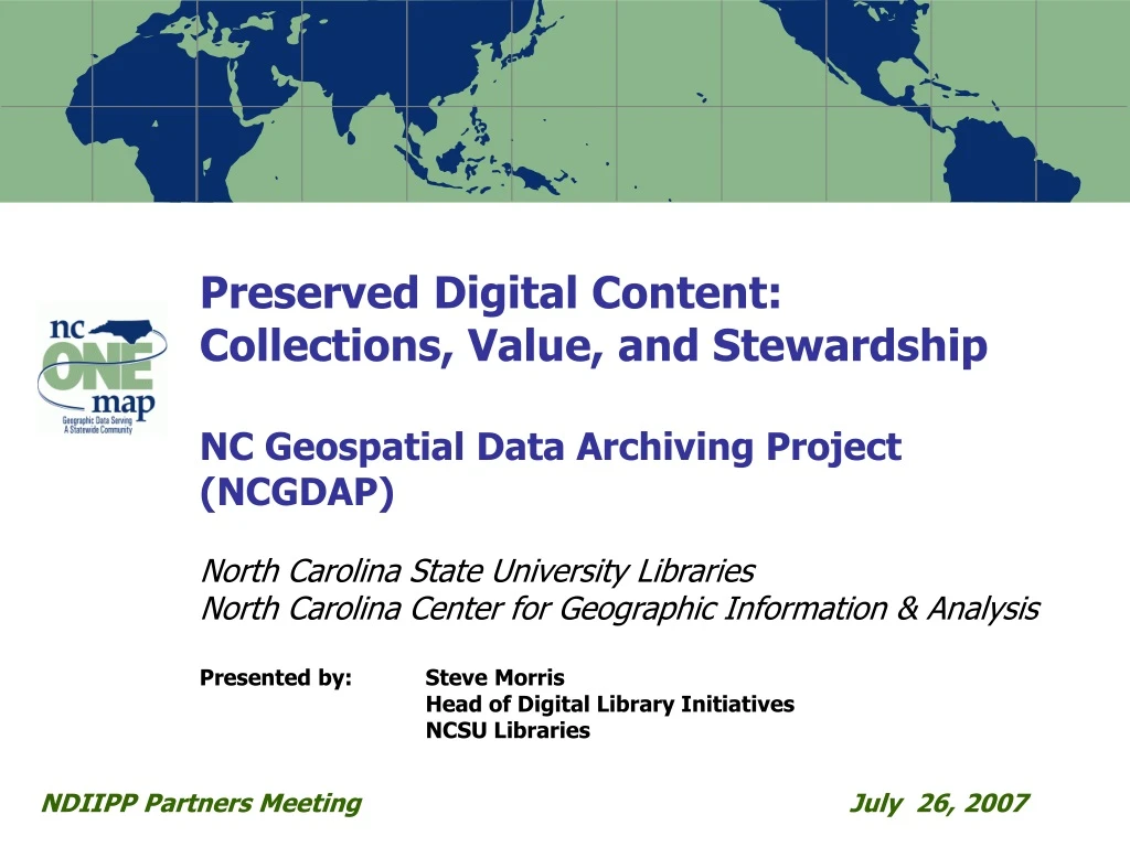
Preserved Digital Content: Collections, Value, and StewardshipNC Geospatial Data Archiving Project (NCGDAP)North Carolina State University LibrariesNorth Carolina Center for Geographic Information & AnalysisPresented by: Steve MorrisHead of Digital Library Initiatives NCSU Libraries NDIIPP Partners Meeting July 26, 2007
Collection Focus: State and Local Government Geospatial Data • 96 of 100 North Carolina Counties have GIS systems as do many municipalities • Over 30 state agency data producers • Exceptional value • Detailed, current, accurate • Exceptional risk • Inconsistent or nonexistent archiving practices • Complicated formats and complex objects Source: NC OneMap
Carrboro, NC : Population 17,797 (2005 est.) 22 downloadable GIS data layers 10 web mapping applications 3 OGC WMS services (web services) 9 downloadable PDF map layers
NCGDAP Data Types – Vector GIS • Detailed, accurate, current • Frequently updated • Cadastral (tax parcels) • Street centerlines • Zoning • Topographic contours • School, sheriff, fire • Voting precincts • More …
NCGDAP Data Types – Digital Orthophotography • All 100 NC counties with orthos • 1-5 flight years per county • 30-300 gb per flight
NCGDAP Data Types – Other (now and future) Digital cartographic products: web services Digital cartographic products: files Remote sensing: e.g. LIDAR data Place-based data
Value in Older Data: Solving Business Problems Land use change analysis Site location analysis Real estate trends analysis Disaster response Resolution of legal challenges Impervious surface maps Suburban Development 1993/2002 Near Mecklenburg-Cabarrus County border
Value in Older Data: Cultural Heritage Future uses of data are difficult to anticipate (as with Sanborn Maps)
Stewardship: Repository as Catalyst for Conversation NCGDAP survey of county and municipal geospatial data archiving practice August 2006 Repository Goal • Capture at-risk data • Explore technical and organizational challenges Project End Goal • Data Producers: Improved temporal data management practices • Archives: More efficient means of acquiring and preserving data 57.6% survey response rate Survey targeted all 100 counties and the 25 largest municipalities in NC
Stewardship: Informing Other Infrastructure • NC GIS Inventory • Efficient data identification • Adding preservation elements Orthophoto Data Distribution System Efficient transfer of large quantities of imagery • NC OneMap Data Download and Viewer • Public access • Data visualization Street Centerline Data Distribution System Efficient transfer of data from 100 counties, with metadata and clarified rights