Download
1 / 11
110 likes | 273 Vues
Nowcasting Aircraft Icing Conditions Using GOES-Derived Cloud Products. Cory A. Wolff Ben C. Bernstein Frank McDonough. World Weather Research Program Symposium on Nowcasting and Very Short Range Forecasting Toulouse, France September 5-9, 2005. NASA Glenn Research Center.

E N D
Nowcasting Aircraft Icing Conditions Using GOES-Derived Cloud Products Cory A. Wolff Ben C. Bernstein Frank McDonough World Weather Research Program Symposium on Nowcasting and Very Short Range Forecasting Toulouse, France September 5-9, 2005
NASA Glenn Research Center • Instrumented Twin Otter • FSSP, 2D Grey, King LWC, Nevzorov • Fly into known icing conditions • Test aircraft response • Document conditions • NCAR provides short term forecasts & nowcasts
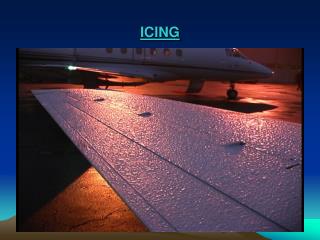
Standard Tools • NWP Model • Geostationary Satellite (GOES) • CTT and albedo • Radar • Surface Observations • Precipitation type • Cloud base and coverage • Pilot Reports
Developed at NASA Langley Research Center GOES Derived Cloud Products (GDCP) Phase Clear Ice Liquid (T < 0°C) Liquid (T > 0°C) New Tools • Effective Radius • Estimate of drop size • Usually “large” or “small” • Liquid Water Path (LWP) • Estimate liquid water content (LWC) at cloud top • Trends in LWC often follow LWP
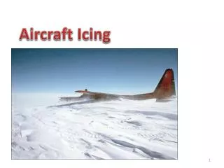
16 February 2005 • Icing encounter near Cleveland, OH • GDCP useful in nowcasting
1315 UTC Mid-level Drying CTT: -8 °C 1200 UTC Briefing • Snow in region • Upper layer pulling away at DTX • Left with warm topped SLW cloud • PIREPs around DTX • Flight postponed • No GDCP yet
1415 UTC 1445 UTC 1515 UTC CLE
First Encounter • Decision to fly made at 1400 UTC • First daytime GDCP at 1415 UTC • Not available until ~1445 UTC • Between CLE and SKY (1509 – 1542 UTC)
1515 UTC 1545 UTC 1615 UTC CLE
Second Encounter • LWP maximum and brighter clouds had moved east during performance tests • Between CLE and CAK (1553 – 1629 UTC)
Summary • Standard encounters • Cloud top had highest LWC • GDCP were helpful • Extra confidence • Higher LWC found near LWP max • Effective Radius • GDCP suggested small drops • Aircraft measured MVD: 10 – 18 µm