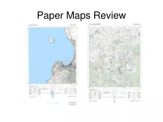
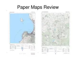
Paper Maps Review
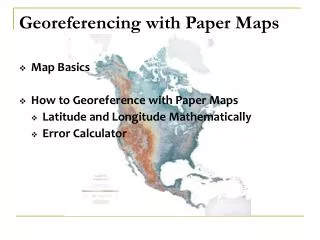
This guide outlines a step-by-step process for georeferencing specific named locations using maps. It covers determining coordinates and datums through orthogonal offsets, measuring distances to named places, and assessing the extent of those places. The guide includes methods for calculating measurement errors and identifying locality types. Whether working with landmarks like the uMnyama River crossing or the Swamp near Tavistock, this resource provides essential instructions to ensure accurate geospatial referencing.

Paper Maps Review
E N D
Presentation Transcript
Georeferencing Process • Find the most specific named place. • Determine the coordinates and datumof the named place using orthogonal offsets (measured on map, converted to real-world distances) from known coordinates. • Determine the extent of the named place. • Determine map measurement error. • Determine Locality Type.
Georeferencing Process • If Locality Type is “Distance only”, “Named place only”, or “Distance along path”…- enter the coordinates of the named place or click on the “Promote” button to copy the coordinates from your prior calculation.- select “Error only” Calculation Type- select the Locality Type- set all parameters on the Calculator- click on the “Calculate” button.
Georeferencing Process • If Locality Type is “Distance at a heading” or “Distance along orthogonal directions”…- enter the coordinates of the named place or click on the “Promote” button to copy the coordinates from your prior calculation.- select “Coordinates and error” Calculation Type- select the Locality Type- set all parameters on the Calculator- click on the “Calculate” button.
uMnyama river crossing NW Upper Gxulu 1) Find most specific named place
uMnyama river crossing NW Upper Gxulu 183.5 mm = 9.175 km E 2) Measure distances to named place 253.5 mm = 12.675 km N
uMnyama river crossing NW Upper Gxulu .5 mm = 0.025 km 3) Determine extent of named place 4) Determine map measurement error
Swamp 1.5 km S Tavistock 1.5 km 1) Find most specific named place
Swamp 1.5 km S Tavistock 2) Measure distances to named place 135 mm = 6.75 km S 89 mm = 4.45 km W
Swamp 1.5 km S Tavistock 13 mm = 0.65 km 3) Determine extent of named place4) Determine map measurement error
Slope above excavation, Maqweni’s Hill, 900m 1) Find named place
Slope above excavation, Maqweni’s Hill, 900m 1) Find most specific named place 900m
Slope above excavation, Maqweni’s Hill, 900m 2) Measure distances to named place
Slope above excavation, Maqweni’s Hill, 900m 1) Find most specific named place 17 mm = .85 km 3) Determine extent of named place4) Determine map measurement error
3 km NW mouth Soutrivier Kanaal 1) Find most specific named place
3 km NW mouth Soutrivier Kanaal 51.5 mm = 2.575 km W 2) Measure distances to named place 205 mm = 10.25 km N
3 km NW mouth Soutrivier Kanaal 2) Calculate coordinates of named place
3 km NW mouth Soutrivier Kanaal 1 mm = 0.05 km 3) Determine extent of named place 4) Determine measurement error
3 km NW mouth Soutrivier Kanaal 5) Determine Locality Type 6) Calculate“Offset at a heading”
3 km NW mouth Soutrivier Kanaal Final georeference