Download
1 / 28
280 likes | 447 Vues
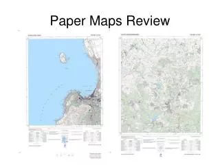
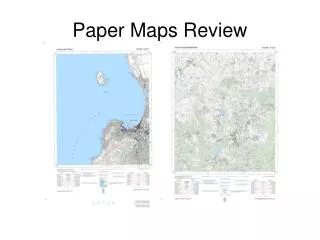
Paper Maps Review. Georeferencing Process. Find the most specific named place. Determine the coordinates of the named place using orthogonal distances from known coordinates. Determine the extent of the named place. Add map measurement error to the extent. Determine the Locality Type.

E N D
Georeferencing Process • Find the most specific named place. • Determine the coordinates of the named place using orthogonal distances from known coordinates. • Determine the extent of the named place. • Add map measurement error to the extent. • Determine the Locality Type.
Georeferencing Process • If Locality Type is “Distance only”, “Named place only”, or “Distance along path”…- enter the coordinates of the named place or click on the “Promote” button to copy the coordinates from step 4- select “Error only” Calculation Type- select the Locality Type- set all parameters on the Calculator- click on the “Calculate” button.
Georeferencing Process • If Locality Type is “Distance at a heading ” or “Distance along orthogonal directions”…- enter the coordinates of the named place or click on the “Promote” button to copy the coordinates from step 4 - select “Coordinates and error” Calculation Type- select the Locality Type- set all parameters on the Calculator- click on the “Calculate” button.
uMnyama river crossing NW Upper Gxulu 1) Find most specific named place
uMnyama river crossing NW Upper Gxulu 183.5 mm = 9.175 km E 2) Measure distances to named place from known coordinates. 253.5 mm = 12.675 km N
uMnyama river crossing NW Upper Gxulu 1 mm = .05 km 1 mm = .05 km 3) Determine extent of named place 4) Add map measurement error
uMnyama river crossing NW Upper Gxulu 183.5 mm = 9.175 km E 253.5 mm = 12.675 km N 5) Calculate coordinates of named place
Georeferencing Process • If Locality Type is “Distance only”, “Named place only”, or “Distance along path”…- enter the coordinates of the named place or click on the “Promote” button to copy the coordinates from step 4- select “Error only” Calculation Type- select the Locality Type- set all parameters on the Calculator- click on the “Calculate” button.
uMnyama river crossing NW Upper Gxulu The final georeference.
3 km NW mouth Soutrivier Kanaal 1) Find most specific named place
3 km NW mouth Soutrivier Kanaal 2) Measure distances to named place from known coordinates.
3 km NW mouth Soutrivier Kanaal 1 mm = .05 km 1 mm = .05 km 3) Determine extent of named place4) Add map measurement error
3 km NW mouth Soutrivier Kanaal 51.5 mm = 2.575 km W 205 mm = 10.25 km N 5) Calculate coordinates of named place
Georeferencing Process • If Locality Type is “Distance at a heading ” or “Distance along orthogonal directions”…- enter the coordinates of the named place or click on the “Promote” button to copy the coordinates from step 4 - select “Coordinates and error” Calculation Type- select the Locality Type- set all parameters on the Calculator- click on the “Calculate” button.
3 km NW mouth Soutrivier Kanaal 6) Determine Locality Type “Distance at a heading”
3 km NW mouth Soutrivier Kanaal The final georeference.
Swamp 1.5 km S Tavistock 1.5 km 1) Find most specific named place
Swamp 1.5 km S Tavistock 2) Measure distances to named place from known coordinates.
Swamp 1.5 km S Tavistock 13 mm = 0.65 km 1 mm = 0.05 km 3) Determine extent of named place4) Add map measurement error
Slope above excavation, Maqueni’s Hill, 900m 1) Find most specific named place
Slope above excavation, Maqueni’s Hill, 900m 1) Find most specific named place 900m
Slope above excavation, Maqueni’s Hill, 900m 2) Measure distances to named place from known coordinates.
Slope above excavation, Maqueni’s Hill, 900m 3) Determine extent of named place4) Add map measurement error 17 mm = .85 km 1 mm = .05 km