Download
1 / 35
350 likes | 366 Vues
This report provides the verification results for the 2005 hurricane season, including track and intensity forecasts for both the Atlantic and Eastern Pacific basins. It also highlights the performance of various forecast models and identifies areas for improvement.

E N D
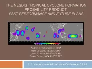
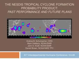
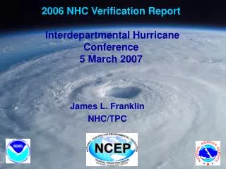
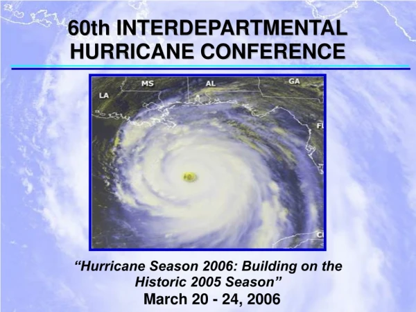
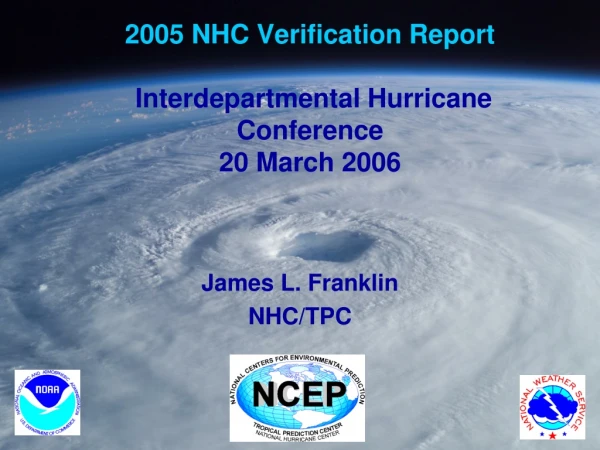
2005 NHC Verification ReportInterdepartmental Hurricane Conference20 March 2006 James L. Franklin NHC/TPC
Verification Rules • System must be a tropical (or subtropical) cyclone at both the forecast time and verification time. • Includes depression stage (except as noted). • 2005 verification includes forecasts for Zeta during 2006. • Special advisories ignored; regular advisories verified (NEW for 2005). • Final verification for Atlantic (probably), eastern Pacific still preliminary. • Skill baselines are revised CLIPER5 (updated developmental data to 1931-2004 [ATL] and 1949-2004 [EPAC]) and SHIFOR5 models, run post-storm on operational compute data (OCS5). Negative SHIFOR5 forecasts set = 1 kt.
2005 Atlantic Verification VT N Trk Int (h) (n mi) (kt) ======================== 000 642 7.5 1.8 012 591 35.1 6.9 024 534 59.7 10.9 036 478 84.1 13.4 048 429 106.4* 15.6 072 338 156.2 20.2 096 264 219.8 20.1 120 207 285.6 21.9 Values in green meet or exceed all-time records. * 48 h track error for TS and H only was 101 n mi; GPRA goal was 128 n mi.
Meet the New Long-Term Mean 303 231 171 118 91 65 Approx. 60 n mi per day. 37
2005 Track Guidance (1st Tier) Best overall: GUNA
GFS Ensemble Mean Relocation applied to ensemble members beginning 12Z 16 August, although there was no detectable change in AEMI performance. AEMI beat GFSI 66% of the time at 5 days. 88% availability at 5 days, relative to GFSI.
Model Variability Consensus models have less run-to-run variability than their individual components. OFCL also strives for consistency, particularly in the cross-track direction at longer lead times.
Pitfalls of SHIFOR as a Skill Baseline • Large errors in a climatology/persistence skill benchmark model should be indicative of an unusual or difficult forecast situation. • Developmental dataset for SHIFOR excluded t=0, -6, -12 h positions within 30 n mi of land. • Model itself has no knowledge of land. SHIFOR errors of 90 kt prior to Katrina’s landfall suggest this is an un-climatological (and potentially difficult) forecast situation, when in fact it is an extremely easy forecast. • Since land areas are (relatively) constant, what we really need is a “Decay-SHIFOR”.
Intensity Skill is Lower over Water A clearer picture of intensity forecast skill can be obtained by discarding the portions of forecasts after a landfall. For the “over water” verifications, a forecast at a particular time was discarded if either the best track or the model track had encountered land by the verification time (using DeMaria land mask). That is, only the pre-landfall portions of the best track and model tracks were retained.
2005 Preliminary East Pacific Verification VT N Trk Int (h) (n mi) (kt) ======================== 000 291 9.0 0.9 012 262 33.1 5.6 024 230 53.3 9.9 036 198 71.7 13.6 048 170 86.2 16.1 072 127 116.7 18.8 096 95 145.3 20.3 120 71 160.2 22.5 Values in green represent all-time lows.
Summary • Atlantic Basin • OFCL track errors were up slightly over the record-setting 2004 numbers, and skill numbers were also down slightly from 2004. Overall, skill levels have changed little since 2002. • OFCL track forecasts were better than all the dynamical guidance models, and even beat the consensus models at some time periods. • GFDL and UKMET provided best dynamical track guidance. GFS performed poorly, particularly beyond 48 h. However, GFS ensemble mean was significantly better than the control at 96 and 120 h. • Unlike in 2004, FSU super-ensemble did not beat the simple arithmetic consensus this year.
Summary (2) • Atlantic Basin • OFCL intensity errors continue to show little improvement, and in 2005 were slightly above the long-term means. However, OFCL forecasts were notably superior to the best objective guidance. • Dynamical models have not yet reached the level of statistical models. Best intensity guidance was provided by the FSU super-ensemble and DSHP. • Using SHIFOR5 as a skill baseline is misleading when there are landfalls.Forecast skill is lower for over-water forecasts.
Summary (3) • East Pacific Basin • OFCL track errors continued improvement trend, setting numerous records, with skill levels up substantially compared with 2004. • OFCL beat consensus models beyond 48 h. • No standout among the dynamical models. Big difference between the dynamical models and the consensus. • FSU super-ensemble did not do as well as the simple consensus.
Summary (4) • East Pacific Basin • OFCL intensity errors/skill show little improvement. • SHIPS and GFDL continue to provide the only useful intensity guidance. GFDL was superior at the longer ranges.